Transport Functions
Port
Road
Hub Profile
Place type
Local administrative seat
Region
Bavaria
Population
2,032
Time zone
Europe/Berlin
Elevation
239 m
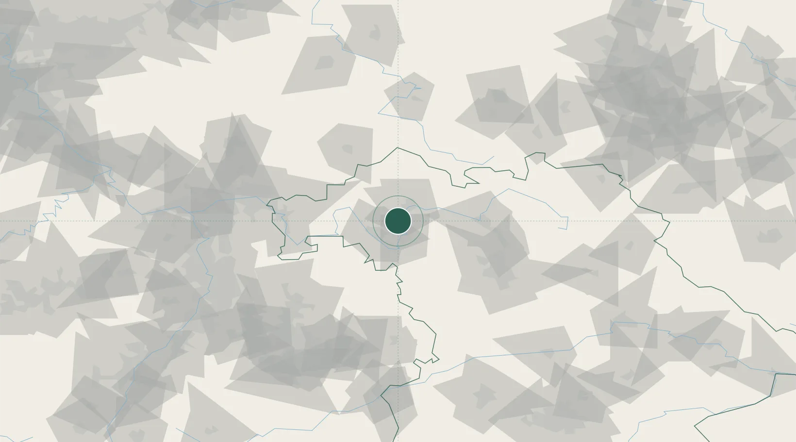
Location
Nearby Logistics Neighbours
Cities
- 1Wipfeld2 km
- 2Ettleben7 km
- 3Seligenstadt8 km
- 4Volkach9 km
- 5Bergrheinfeld10 km
Airports
- 1Bamberg-Breitenau Airfield56 km
- 2Niederstetten Army Air Base60 km
- 3Nuremberg Airport82 km
- 4Adolf Würth Airport92 km
- 5Frankfurt-Egelsbach Airport107 km
Trade Zones
- 1ZFU Hautepierre230 km
- 2ZFU Neuhof230 km
- 3Freeport of Deggendorf233 km
- 4Podbořany Industrial Zone236 km
- 5ZFU La Cité Behren-lès-Forbach246 km
DatabookThe Record of Consolidated Knowledge
Germany beyond logistics?