Transport Functions
Road
Airport
Multimodal
Hub Profile
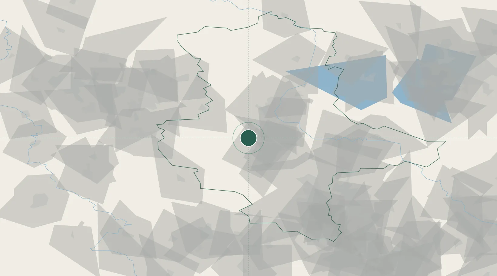
Place type
Populated place
Region
Saxony-Anhalt
Population
1,311
Time zone
Europe/Berlin
Elevation
106 m
Location
Nearby Logistics Neighbours
Cities
- 1Wolmirsleben9 km
- 2Hoym14 km
- 3Foerderstedt15 km
- 4Seeland15 km
- 5Wegeleben17 km
Airports
- 1Zerbst Airfield52 km
- 2Braunschweig-Wolfsburg Airport76 km
- 3Leipzig/Halle Airport76 km
- 4Erfurt-Weimar Airport106 km
- 5Eisenach-Kindel Airport119 km
Trade Zones
DatabookThe Record of Consolidated Knowledge
Germany beyond logistics?