UN/LOCODE hub · Germany
DEWFT
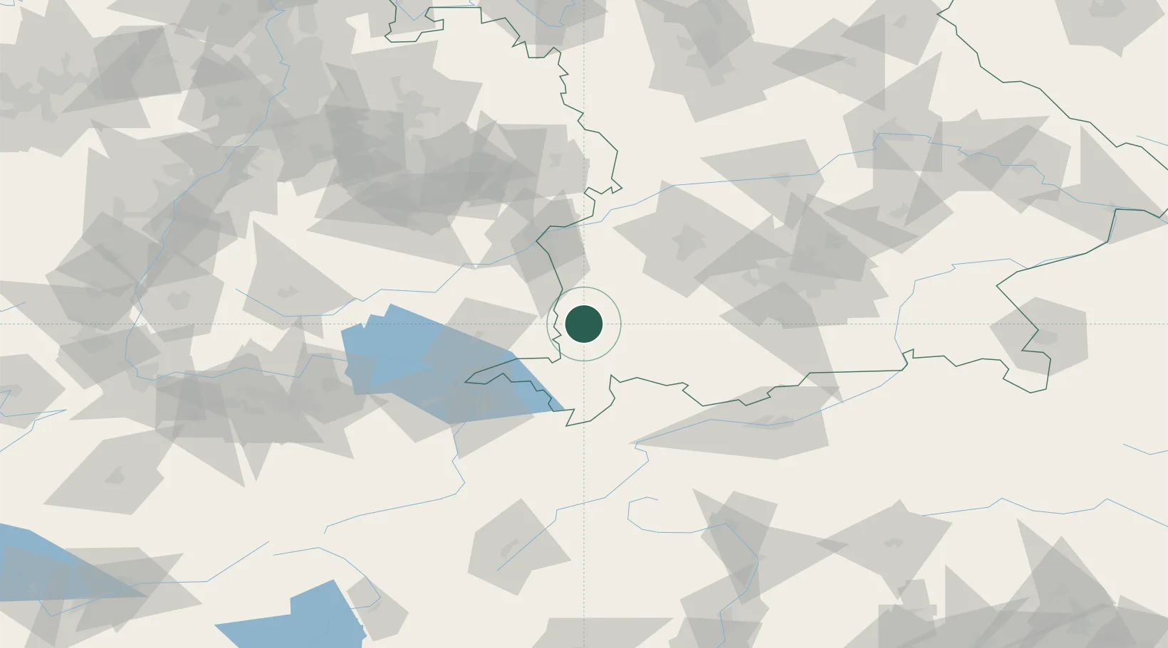
Wolfertschwenden
47.8833°, 10.2667°
1,852
Population
2
Transport functions
Transport Functions
Rail
Road
Hub Profile
Place type
Local administrative seat
Region
Bavaria
Population
1,852
Time zone
Europe/Berlin
Elevation
679 m
Location
Nearby Logistics Neighbours
Cities
- 1Woringen6 km
- 2Dietmannsried9 km
- 3Wald10 km
- 4Benningen10 km
- 5Legau11 km
Ports
- 1Porto Di Lido-Venezia320 km
- 2Nogaro323 km
- 3Porto Di Chioggia333 km
- 4Grado335 km
- 5Monfalcone342 km
Airports
Trade Zones
- 1Livigno Free Trade Zone151 km
- 2ZFU Neuhof199 km
- 3ZFU Hautepierre206 km
- 4ZFU Mulhouse219 km
- 5Freeport of Deggendorf222 km
DatabookThe Record of Consolidated Knowledge
Germany beyond logistics?