Transport Functions
Rail
Road
Hub Profile
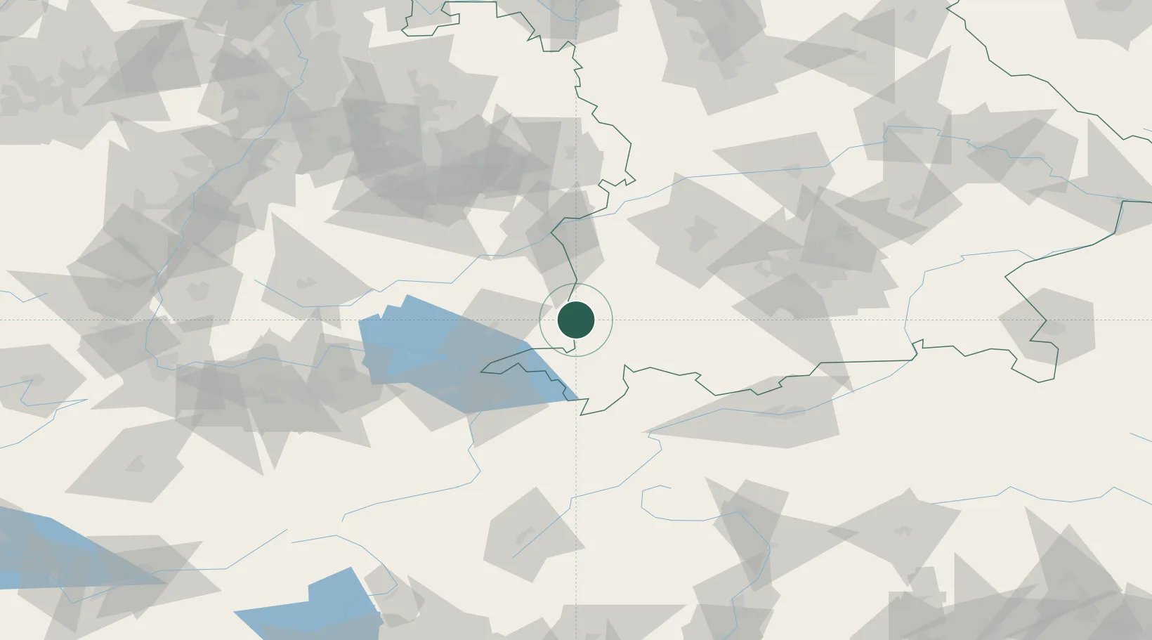
Place type
Populated place
Region
Bavaria
Population
3,215
Time zone
Europe/Berlin
Elevation
670 m
Location
Nearby Logistics Neighbours
Cities
- 1Leutkirch im Allgäu9 km
- 2Woringen9 km
- 3Wolfertschwenden11 km
- 4Aitrach12 km
- 5Dietmannsried13 km
Ports
- 1Porto Di Lido-Venezia323 km
- 2Nogaro328 km
- 3Porto Di Chioggia335 km
- 4Grado340 km
- 5Monfalcone347 km
Airports
Trade Zones
- 1Livigno Free Trade Zone147 km
- 2ZFU Neuhof192 km
- 3ZFU Hautepierre199 km
- 4ZFU Mulhouse209 km
- 5Freeport of Deggendorf233 km
DatabookThe Record of Consolidated Knowledge
Germany beyond logistics?