UN/LOCODE hub · Germany
DERFI
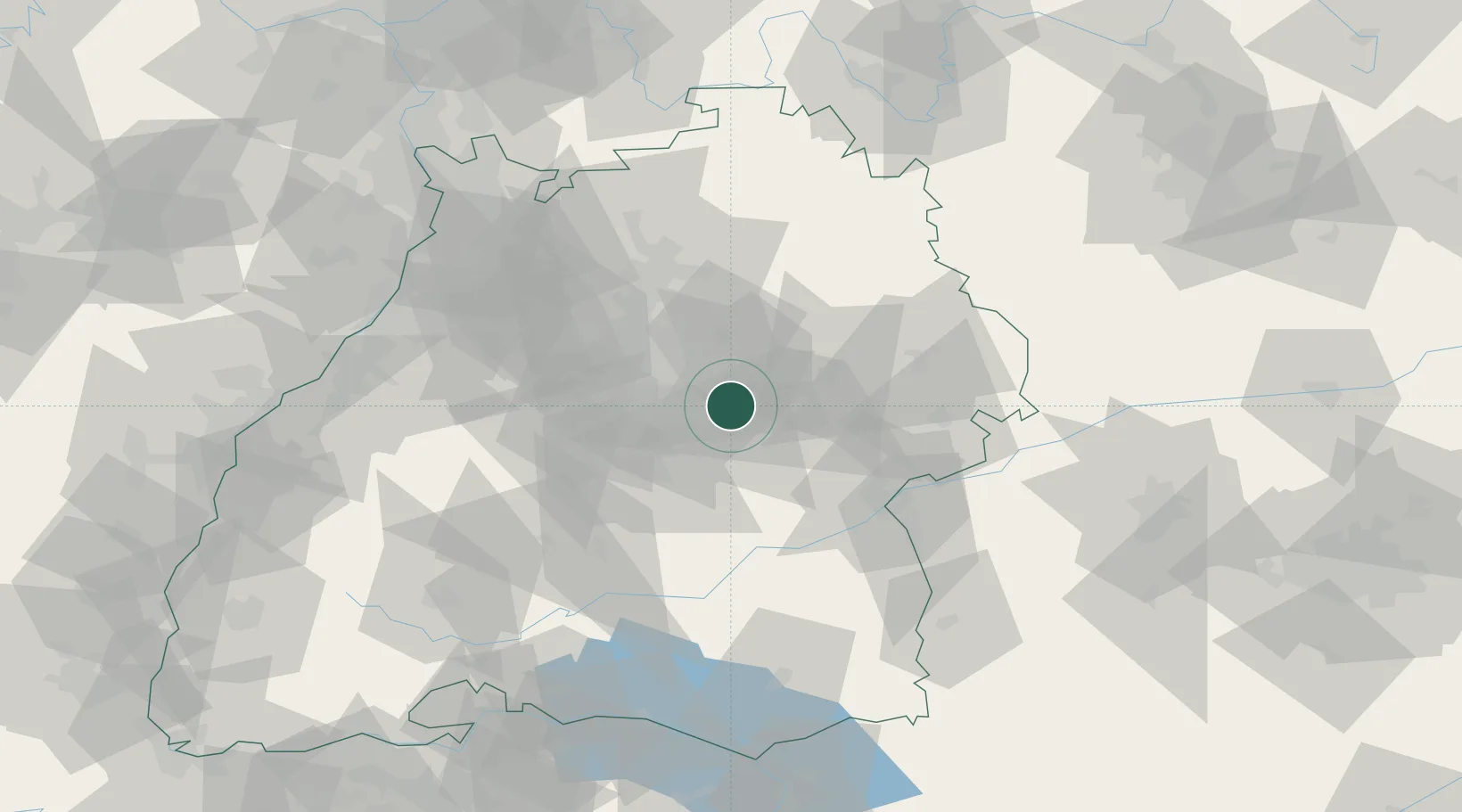
Reichenbach an der Fils
48.7167°, 9.4667°
8,046
Population
3
Transport functions
Transport Functions
Port
Rail
Road
Hub Profile
Place type
Local administrative seat
Region
Baden-Wurttemberg
Population
8,046
Time zone
Europe/Berlin
Elevation
261 m
Location
Nearby Logistics Neighbours
Cities
- 1Baltmannsweiler2 km
- 2Ebersbach an der Fils5 km
- 3Notzingen6 km
- 4Wendlingen am Neckar7 km
- 5Oberberken10 km
Ports
- 1Porto Di Lido-Venezia430 km
- 2Nogaro431 km
- 3Bruxelles438 km
- 4Porto Di Chioggia443 km
- 5Grado443 km
Airports
- 1Stuttgart Airport18 km
- 2Adolf Würth Airport50 km
- 3Laupheim Air Base64 km
- 4Mengen-Hohentengen Airfield74 km
- 5Niederstetten Army Air Base83 km
Trade Zones
- 1ZFU Neuhof127 km
- 2ZFU Hautepierre131 km
- 3ZFU Mulhouse191 km
- 4ZFU La Cité Behren-lès-Forbach192 km
- 5ZFU Belfort230 km
DatabookThe Record of Consolidated Knowledge
Germany beyond logistics?