Transport Functions
Port
Rail
Road
Multimodal
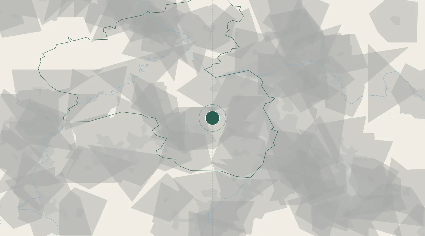
Hub Profile
Place type
Local administrative seat
Region
Rheinland-Pfalz
Population
4,850
Time zone
Europe/Berlin
Elevation
268 m
Location
Nearby Logistics Neighbours
Cities
- 1Otterberg10 km
- 2Katzenbach10 km
- 3Dannenfels10 km
- 4Otterbach12 km
- 5Ramsen13 km
Airports
- 1Ramstein Air Base23 km
- 2Mannheim-City Airport49 km
- 3Mainz-Finthen Airfield49 km
- 4Frankfurt-Hahn Airport60 km
- 5Wiesbaden Army Airfield64 km
Trade Zones
- 1ZFU La Cité Behren-lès-Forbach80 km
- 2ZFU Hautepierre109 km
- 3ZFU Neuhof114 km
- 4Luxembourg Free Port118 km
- 5ZFU Woippy-Metz132 km
DatabookThe Record of Consolidated Knowledge
Germany beyond logistics?