UN/LOCODE hub · Germany
DEDFP

Dannenfels

49.6333°, 7.9500°
971
Population
2
Transport functions

Transport Functions

Road
Multimodal
UN/LOCODE

Hub Profile

Place type
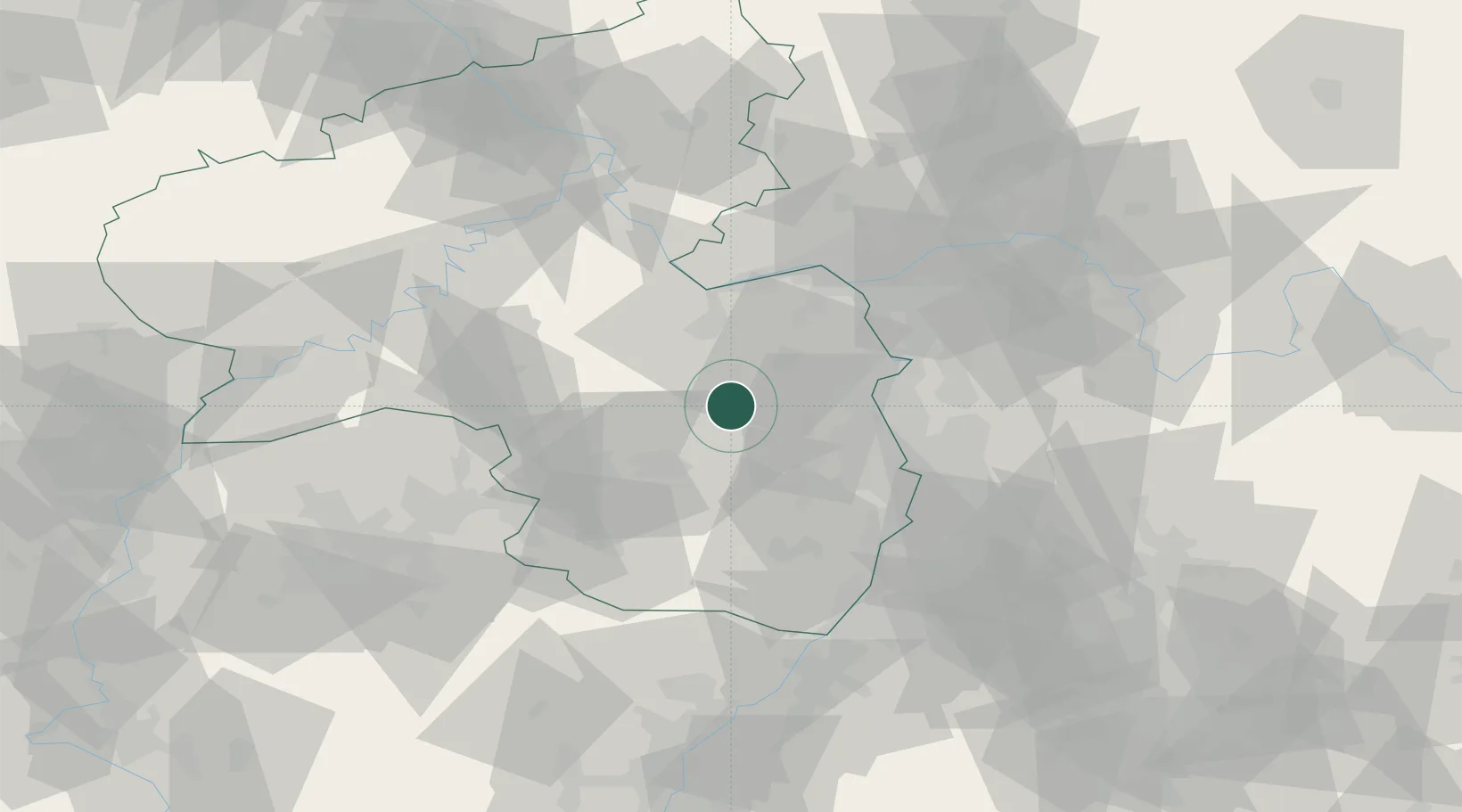
Local administrative seat
GeoNames
Region
Rheinland-Pfalz
GeoNames
Population
971
GeoNames
Time zone
Europe/Berlin
GeoNames
Elevation
379 m
GeoNames

Location

Location of DEDFP
Natural Earth 10m (public domain) · Rheinland-Pfalz · DEDFP · 49.63, 7.95GoogleOSMYandex

Nearby Logistics Neighbours

Cities
  1. 1Morschheim7 km
  2. 2Orbis8 km
  3. 3Katzenbach10 km
  4. 4Winnweiler10 km
  5. 5Münsterappel12 km
Nearest neighbours — logibook spatial index (haversine) over the source coordinates
Ports
  1. 1Bruxelles290 km
  2. 2Antwerpen307 km
  3. 3Dordrecht336 km
  4. 4Ghent339 km
  5. 5Hansweert345 km
Nearest neighbours — logibook spatial index (haversine) over the source coordinates
Airports
  1. 1Ramstein Air Base33 km
  2. 2Mainz-Finthen Airfield40 km
  3. 3Mannheim-City Airport44 km
  4. 4Wiesbaden Army Airfield54 km
  5. 5Frankfurt-Hahn Airport60 km
Nearest neighbours — logibook spatial index (haversine) over the source coordinates
Trade Zones
  1. 1ZFU La Cité Behren-lès-Forbach90 km
  2. 2ZFU Hautepierre117 km
  3. 3ZFU Neuhof122 km
  4. 4Luxembourg Free Port124 km
  5. 5ZFU Woippy-Metz141 km
Nearest neighbours — logibook spatial index (haversine) over the source coordinates
DatabookThe Record of Consolidated Knowledge
Germany beyond logistics?
Browse databook

All Sources

LocationsUN/LOCODE
UN/LOCODE — free
LocationsGeoNames
CC BY 4.0
Portsthe NGA World Port Index
Public domain (US gov)
AirportsOurAirports
Public domain
Trade Zonesthe World Bank SEZ database
CC BY 4.0
Trade ZonesOpen Zone Map
CC BY
← Germany locations