Transport Functions
Multimodal
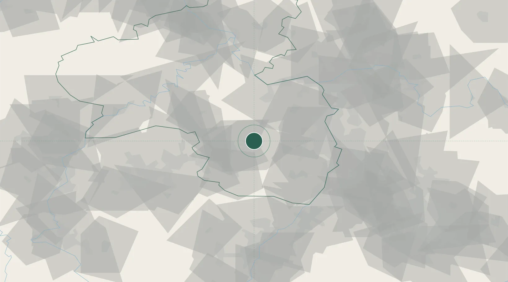
Hub Profile
Place type
Populated place
Region
Rheinland-Pfalz
Population
5,215
Time zone
Europe/Berlin
Elevation
263 m
Location
Nearby Logistics Neighbours
Cities
- 1Otterbach2 km
- 2Kaisersmühle4 km
- 3Winnweiler10 km
- 4Kreimbach-Kaulbach11 km
- 5Mackenbach14 km
Airports
- 1Ramstein Air Base14 km
- 2Mannheim-City Airport54 km
- 3Saarbrücken Airport57 km
- 4Mainz-Finthen Airfield59 km
- 5Frankfurt-Hahn Airport62 km
Trade Zones
- 1ZFU La Cité Behren-lès-Forbach71 km
- 2ZFU Hautepierre101 km
- 3ZFU Neuhof107 km
- 4Luxembourg Free Port113 km
- 5ZFU Woippy-Metz124 km
DatabookThe Record of Consolidated Knowledge
Germany beyond logistics?