UN/LOCODE hub · Germany
DERMN

Ramsen

49.5333°, 8.0167°
1,863
Population
1
Transport functions

Transport Functions

Multimodal
UN/LOCODE

Hub Profile

Place type
Local administrative seat
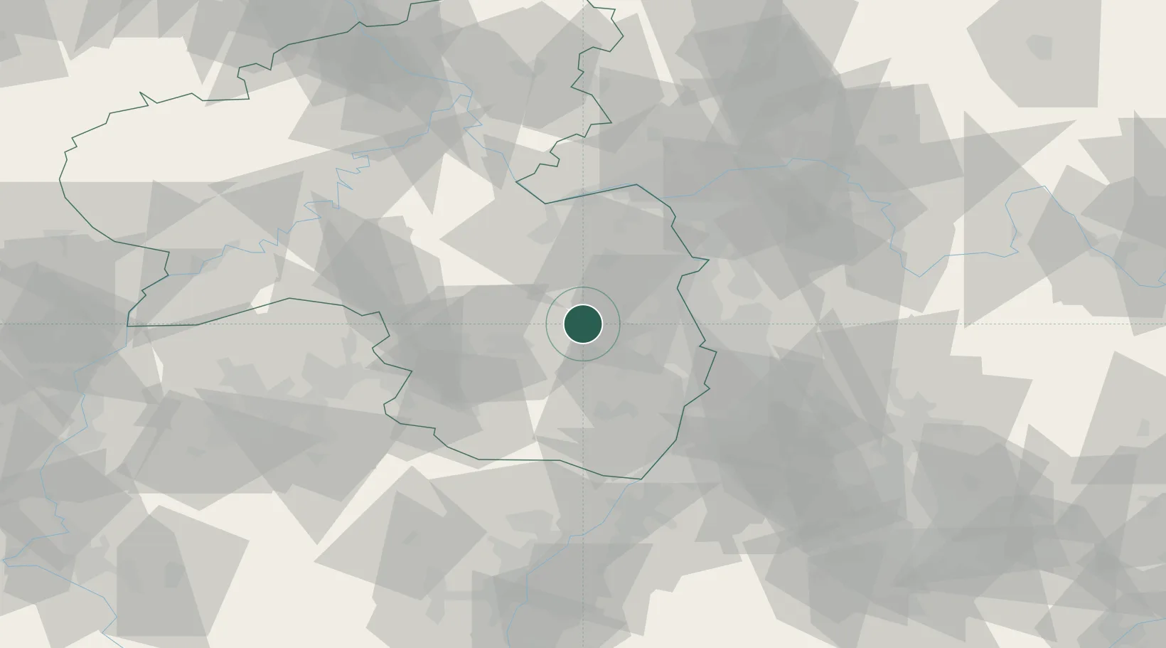
GeoNames
Region
Rheinland-Pfalz
GeoNames
Population
1,863
GeoNames
Time zone
Europe/Berlin
GeoNames
Elevation
216 m
GeoNames

Location

Location of DERMN
Natural Earth 10m (public domain) · Rheinland-Pfalz · DERMN · 49.53, 8.02GoogleOSMYandex

Nearby Logistics Neighbours

Cities
  1. 1Carlsberg4 km
  2. 2Kleinkarlbach8 km
  3. 3Neuleiningen8 km
  4. 4Kirchheim11 km
  5. 5Herxheim am Berg11 km
Nearest neighbours — logibook spatial index (haversine) over the source coordinates
Ports
  1. 1Bruxelles300 km
  2. 2Antwerpen318 km
  3. 3Dordrecht347 km
  4. 4Hansweert355 km
  5. 5Rotterdam362 km
Nearest neighbours — logibook spatial index (haversine) over the source coordinates
Airports
  1. 1Ramstein Air Base32 km
  2. 2Mannheim-City Airport37 km
  3. 3Mainz-Finthen Airfield49 km
  4. 4Wiesbaden Army Airfield62 km
  5. 5Frankfurt-Egelsbach Airport65 km
Nearest neighbours — logibook spatial index (haversine) over the source coordinates
Trade Zones
  1. 1ZFU La Cité Behren-lès-Forbach89 km
  2. 2ZFU Hautepierre107 km
  3. 3ZFU Neuhof112 km
  4. 4Luxembourg Free Port130 km
  5. 5ZFU Woippy-Metz142 km
Nearest neighbours — logibook spatial index (haversine) over the source coordinates
DatabookThe Record of Consolidated Knowledge
Germany beyond logistics?
Browse databook

All Sources

LocationsUN/LOCODE
UN/LOCODE — free
LocationsGeoNames
CC BY 4.0
Portsthe NGA World Port Index
Public domain (US gov)
AirportsOurAirports
Public domain
Trade Zonesthe World Bank SEZ database
CC BY 4.0
Trade ZonesOpen Zone Map
CC BY
← Germany locations