Transport Functions
Multimodal
Hub Profile
Place type
Local administrative seat
Region
Rheinland-Pfalz
Population
570
Time zone
Europe/Berlin
Elevation
231 m
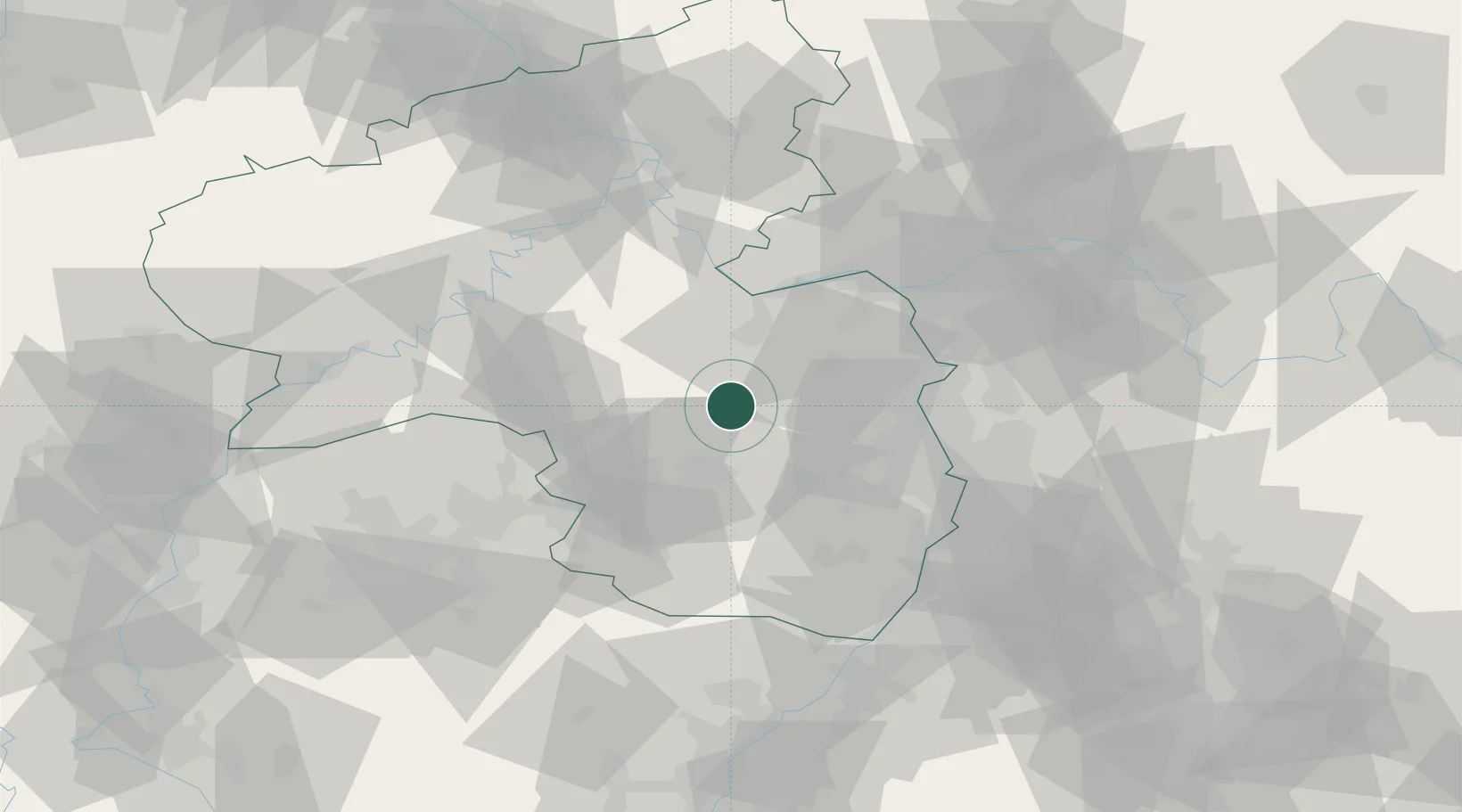
Location
Nearby Logistics Neighbours
Cities
- 1Winnweiler10 km
- 2Dannenfels10 km
- 3Obermoschel10 km
- 4Münsterappel10 km
- 5Orbis14 km
Airports
- 1Ramstein Air Base28 km
- 2Mainz-Finthen Airfield43 km
- 3Frankfurt-Hahn Airport52 km
- 4Mannheim-City Airport54 km
- 5Wiesbaden Army Airfield58 km
Trade Zones
- 1ZFU La Cité Behren-lès-Forbach84 km
- 2Luxembourg Free Port115 km
- 3ZFU Hautepierre118 km
- 4ZFU Neuhof123 km
- 5ZFU Woippy-Metz133 km
DatabookThe Record of Consolidated Knowledge
Germany beyond logistics?