Transport Functions
Road
Multimodal
Hub Profile
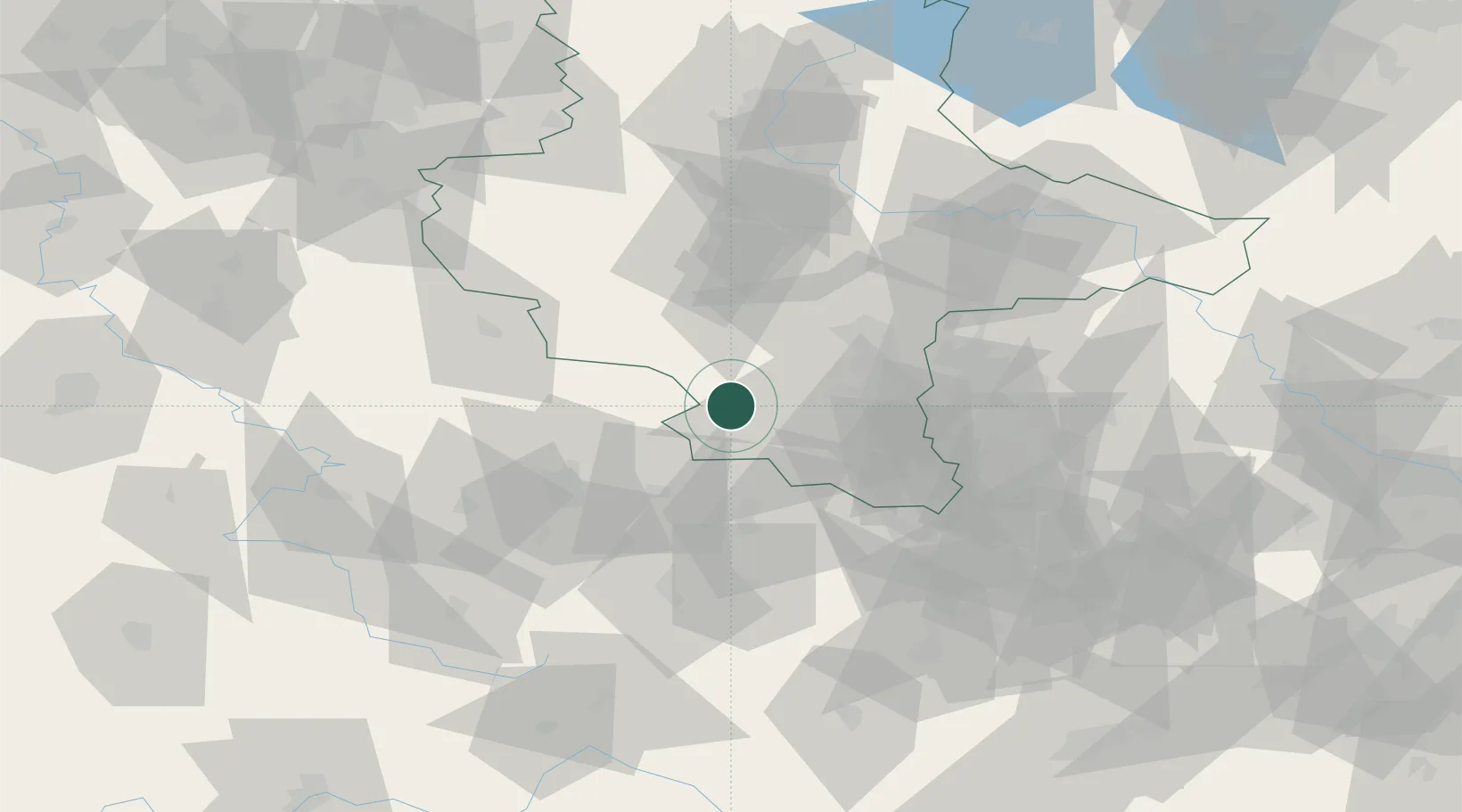
Place type
Urban district
Region
Saxony-Anhalt
Population
546
Time zone
Europe/Berlin
Elevation
119 m
Location
Nearby Logistics Neighbours
Cities
- 1Nebra2 km
- 2Wiehe9 km
- 3Nemsdorf-Göhrendorf12 km
- 4Querfurt13 km
- 5Obhausen16 km
Airports
- 1Leipzig/Halle Airport50 km
- 2Erfurt-Weimar Airport52 km
- 3Leipzig–Altenburg Airport74 km
- 4Eisenach-Kindel Airport81 km
- 5Zerbst Airfield92 km
Trade Zones
DatabookThe Record of Consolidated Knowledge
Germany beyond logistics?