Transport Functions
Rail
Road
Hub Profile
Place type
Local administrative seat
Region
Saxony-Anhalt
Population
1,955
Time zone
Europe/Berlin
Elevation
153 m
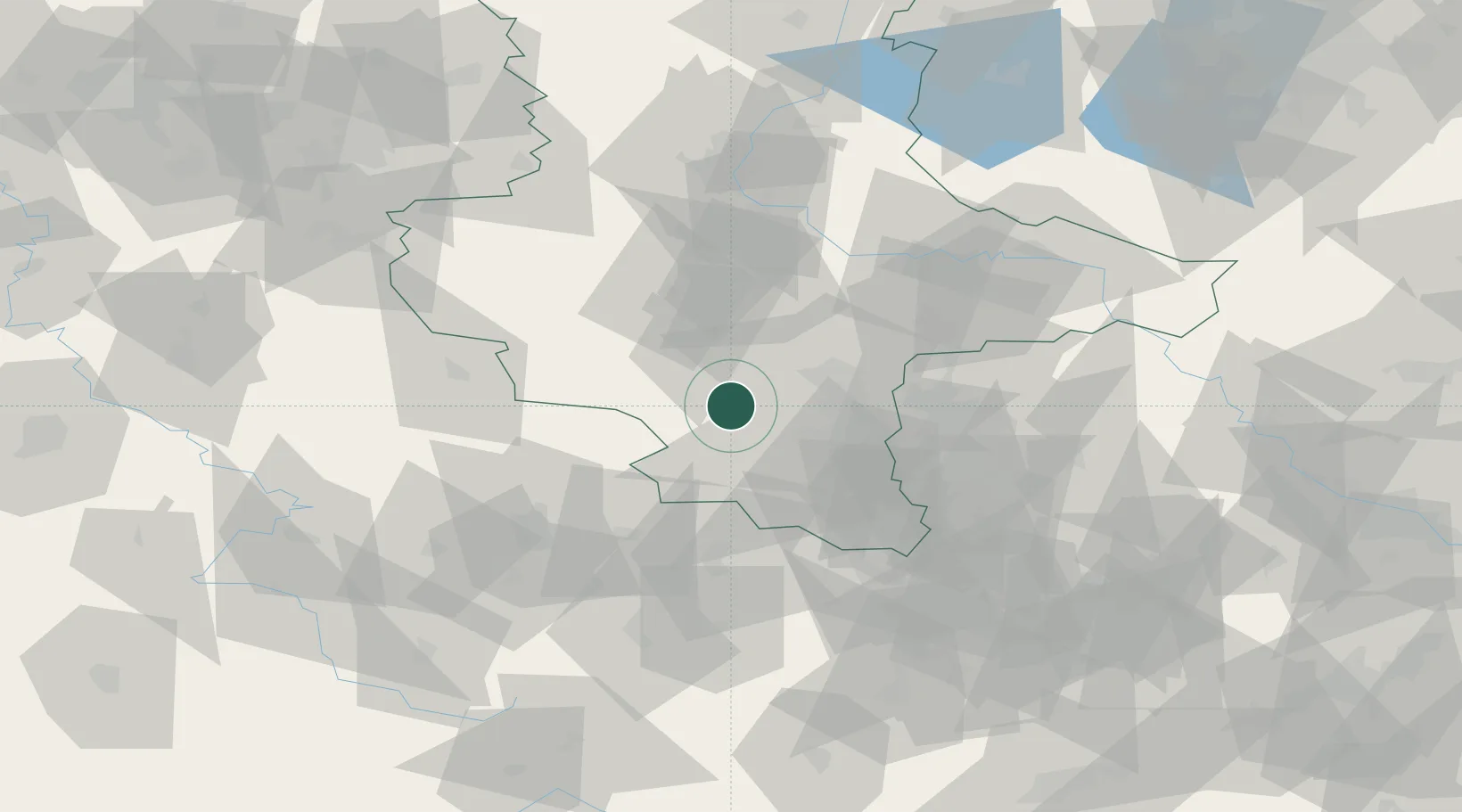
Location
Nearby Logistics Neighbours
Cities
- 1Querfurt4 km
- 2Röblingen am See6 km
- 3Nemsdorf-Göhrendorf6 km
- 4Schafstädt8 km
- 5Amsdorf9 km
Airports
- 1Leipzig/Halle Airport41 km
- 2Erfurt-Weimar Airport67 km
- 3Zerbst Airfield75 km
- 4Leipzig–Altenburg Airport76 km
- 5Eisenach-Kindel Airport93 km
Trade Zones
DatabookThe Record of Consolidated Knowledge
Germany beyond logistics?