Transport Functions
Road
Multimodal
Hub Profile
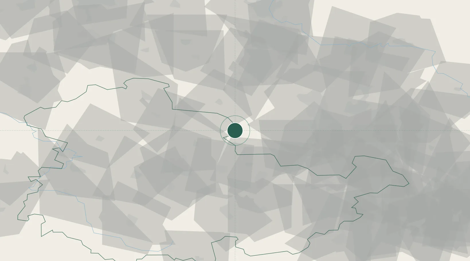
Place type
Populated place
Region
Thuringia
Population
2,258
Time zone
Europe/Berlin
Elevation
139 m
Location
Nearby Logistics Neighbours
Airports
- 1Erfurt-Weimar Airport45 km
- 2Leipzig/Halle Airport59 km
- 3Eisenach-Kindel Airport72 km
- 4Leipzig–Altenburg Airport82 km
- 5Zerbst Airfield96 km
Trade Zones
DatabookThe Record of Consolidated Knowledge
Germany beyond logistics?