Transport Functions
Rail
Road
Hub Profile
Place type
Populated place
Region
Saxony-Anhalt
Population
9,019
Time zone
Europe/Berlin
Elevation
167 m
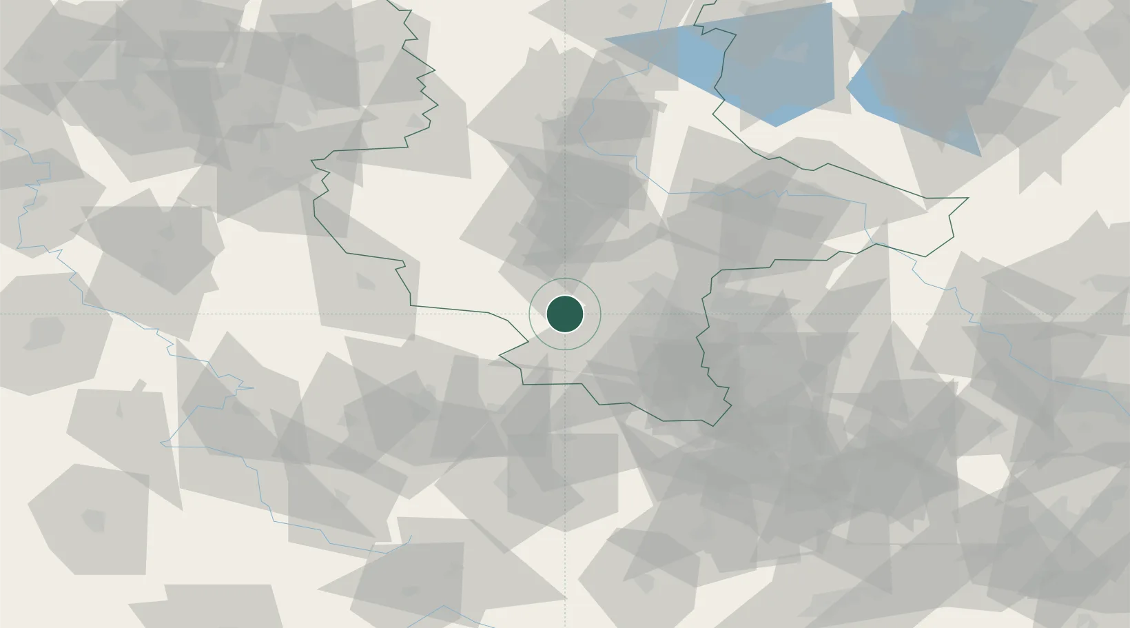
Location
Nearby Logistics Neighbours
Cities
- 1Obhausen4 km
- 2Nemsdorf-Göhrendorf6 km
- 3Röblingen am See9 km
- 4Nebra11 km
- 5Schafstädt12 km
Airports
- 1Leipzig/Halle Airport44 km
- 2Erfurt-Weimar Airport63 km
- 3Leipzig–Altenburg Airport77 km
- 4Zerbst Airfield78 km
- 5Eisenach-Kindel Airport89 km
Trade Zones
DatabookThe Record of Consolidated Knowledge
Germany beyond logistics?