Transport Functions
Rail
Road
Hub Profile
Region
ST
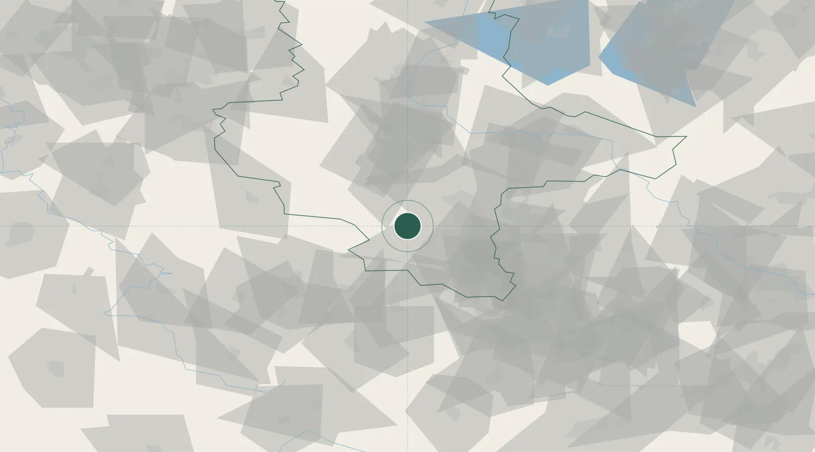
Location
Nearby Logistics Neighbours
Cities
- 1Obhausen6 km
- 2Querfurt6 km
- 3Schafstädt8 km
- 4Nebra10 km
- 5Röblingen am See11 km
Airports
- 1Leipzig/Halle Airport40 km
- 2Erfurt-Weimar Airport64 km
- 3Leipzig–Altenburg Airport71 km
- 4Zerbst Airfield80 km
- 5Eisenach-Kindel Airport92 km
Trade Zones
DatabookThe Record of Consolidated Knowledge
Germany beyond logistics?