Transport Functions
Multimodal
Hub Profile
Place type
Populated place
Region
Saxony-Anhalt
Population
2,690
Time zone
Europe/Berlin
Elevation
142 m
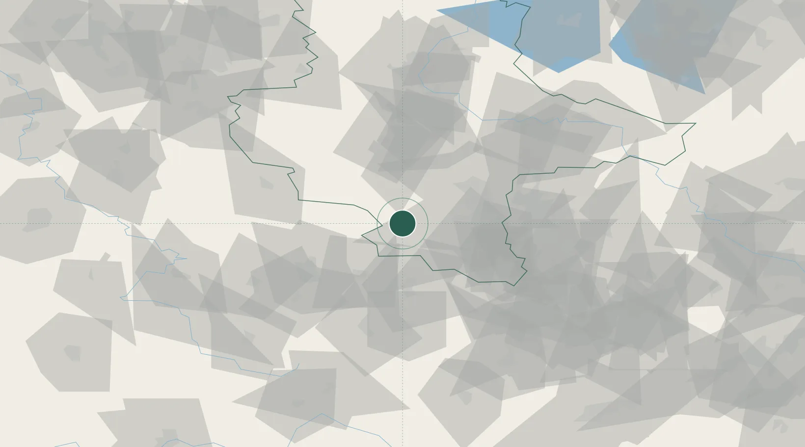
Location
Nearby Logistics Neighbours
Cities
- 1Wangen2 km
- 2Nemsdorf-Göhrendorf10 km
- 3Wiehe11 km
- 4Querfurt11 km
- 5Obhausen14 km
Airports
- 1Leipzig/Halle Airport49 km
- 2Erfurt-Weimar Airport54 km
- 3Leipzig–Altenburg Airport74 km
- 4Eisenach-Kindel Airport83 km
- 5Zerbst Airfield89 km
Trade Zones
DatabookThe Record of Consolidated Knowledge
Germany beyond logistics?