Transport Functions
Road
Multimodal
Hub Profile
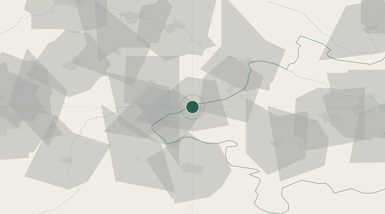
Place type
Populated place
Region
Upper Austria
Population
4,194
Time zone
Europe/Vienna
Elevation
350 m
Location
Nearby Logistics Neighbours
Cities
- 1Ranshofen3 km
- 2Kirchdorf am Inn5 km
- 3Stubenberg8 km
- 4Wimpassing9 km
- 5Sankt Florian12 km
Ports
- 1Monfalcone277 km
- 2Nogaro277 km
- 3Grado285 km
- 4Trieste294 km
- 5Muggia300 km
Airports
- 1Salzburg Airport51 km
- 2Landshut Airfield79 km
- 3Linz-Hörsching Airport86 km
- 4Munich Airport93 km
- 5Ingolstadt Manching Airport122 km
Trade Zones
DatabookThe Record of Consolidated Knowledge
Austria beyond logistics?