Transport Functions
Port
Rail
Road
Hub Profile
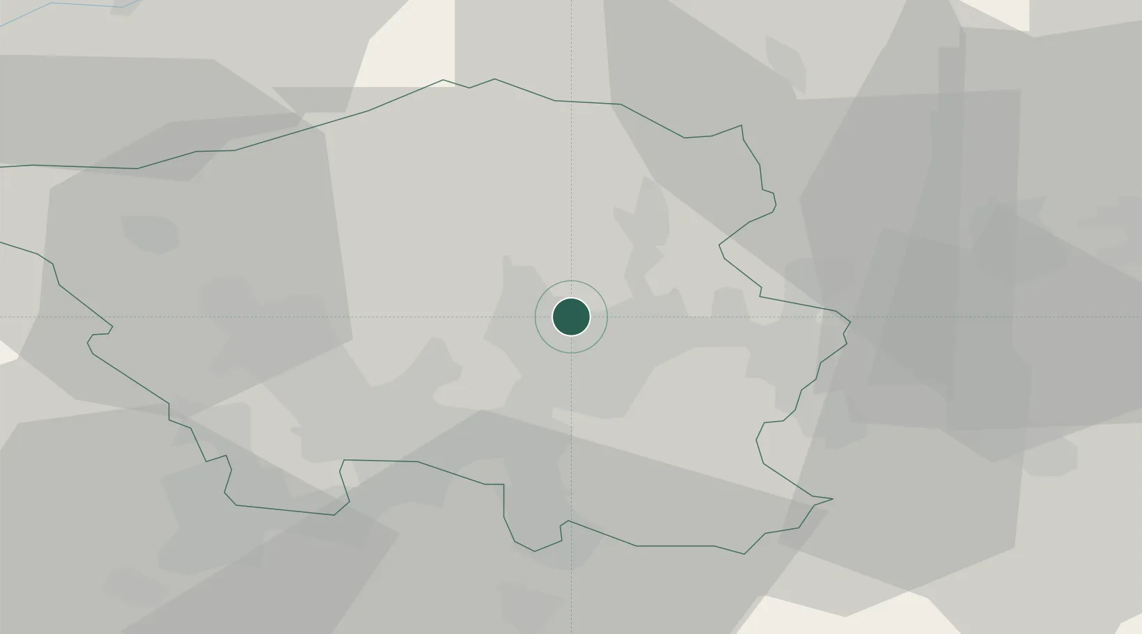
Place type
Populated place
Region
Saarland
Time zone
Europe/Berlin
Elevation
291 m
Location
Nearby Logistics Neighbours
Cities
- 1Schiffweiler4 km
- 2Neunkirchen8 km
- 3Eppelborn9 km
- 4Sulzbach/Saar9 km
- 5Sankt Ingbert10 km
Airports
Trade Zones
- 1ZFU La Cité Behren-lès-Forbach25 km
- 2Luxembourg Free Port69 km
- 3ZFU Woippy-Metz72 km
- 4ZFU Metz73 km
- 5ZFU Hautepierre97 km
DatabookThe Record of Consolidated Knowledge
Germany beyond logistics?