Transport Functions
Rail
Road
Hub Profile
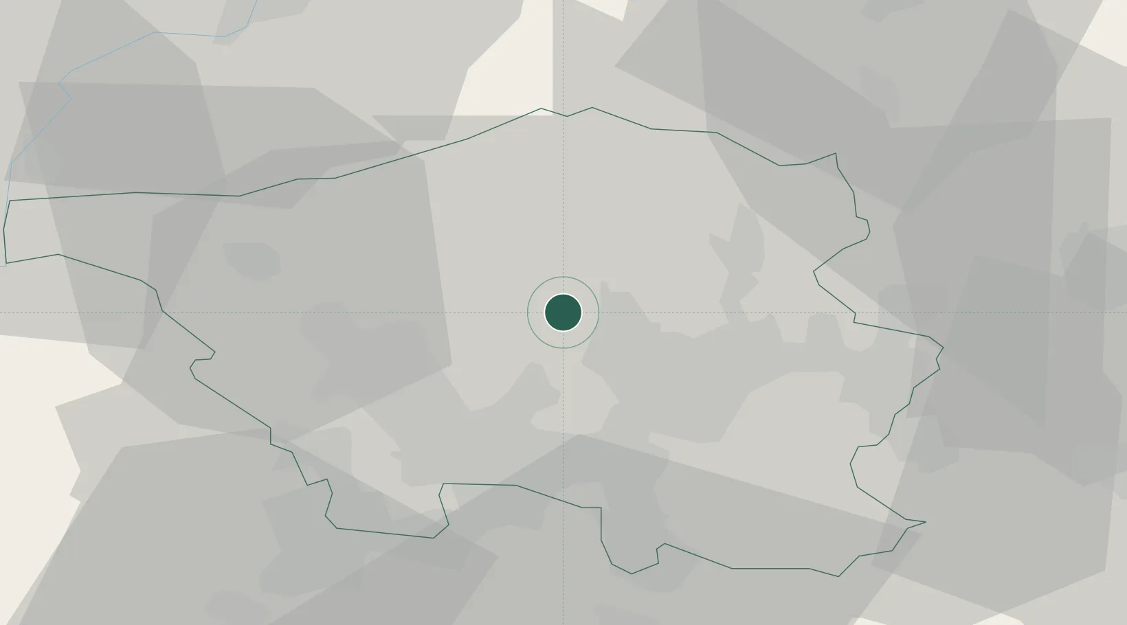
Place type
Local administrative seat
Region
Saarland
Population
18,079
Time zone
Europe/Berlin
Elevation
244 m
Location
Nearby Logistics Neighbours
Cities
- 1Wemmetsweiler9 km
- 2Riegelsberg11 km
- 3Schiffweiler13 km
- 4Nalbach13 km
- 5Püttlingen14 km
Airports
- 1Saarbrücken Airport23 km
- 2Ramstein Air Base46 km
- 3Luxembourg-Findel International Airport60 km
- 4Frankfurt-Hahn Airport64 km
- 5Spangdahlem Air Base67 km
Trade Zones
- 1ZFU La Cité Behren-lès-Forbach26 km
- 2Luxembourg Free Port60 km
- 3ZFU Woippy-Metz66 km
- 4ZFU Metz67 km
- 5ZFU Maxéville, Laxou, et de Nancy97 km
DatabookThe Record of Consolidated Knowledge
Germany beyond logistics?