Transport Functions
Rail
Road
Multimodal
Hub Profile
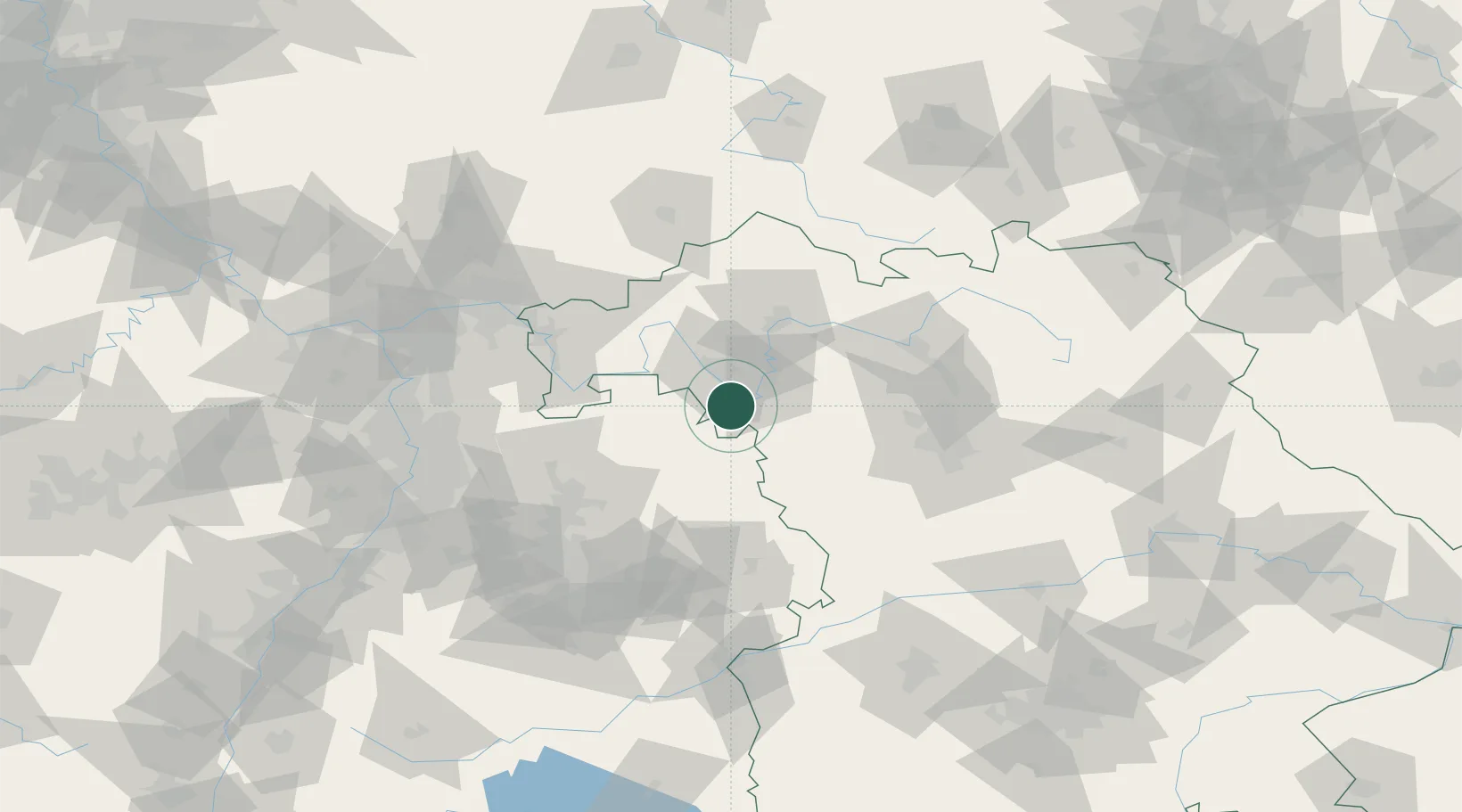
Place type
Local administrative seat
Region
Bavaria
Population
2,335
Time zone
Europe/Berlin
Elevation
268 m
Location
Nearby Logistics Neighbours
Cities
- 1Ochsenfurt4 km
- 2Sommerhausen8 km
- 3Eibelstadt9 km
- 4Gollhofen16 km
- 5Mainbernheim17 km
Airports
- 1Niederstetten Army Air Base27 km
- 2Adolf Würth Airport59 km
- 3Bamberg-Breitenau Airfield73 km
- 4Nuremberg Airport79 km
- 5Frankfurt-Egelsbach Airport104 km
Trade Zones
- 1ZFU Neuhof203 km
- 2ZFU Hautepierre204 km
- 3Freeport of Deggendorf228 km
- 4ZFU La Cité Behren-lès-Forbach228 km
- 5Podbořany Industrial Zone252 km
DatabookThe Record of Consolidated Knowledge
Germany beyond logistics?