Transport Functions
Rail
Road
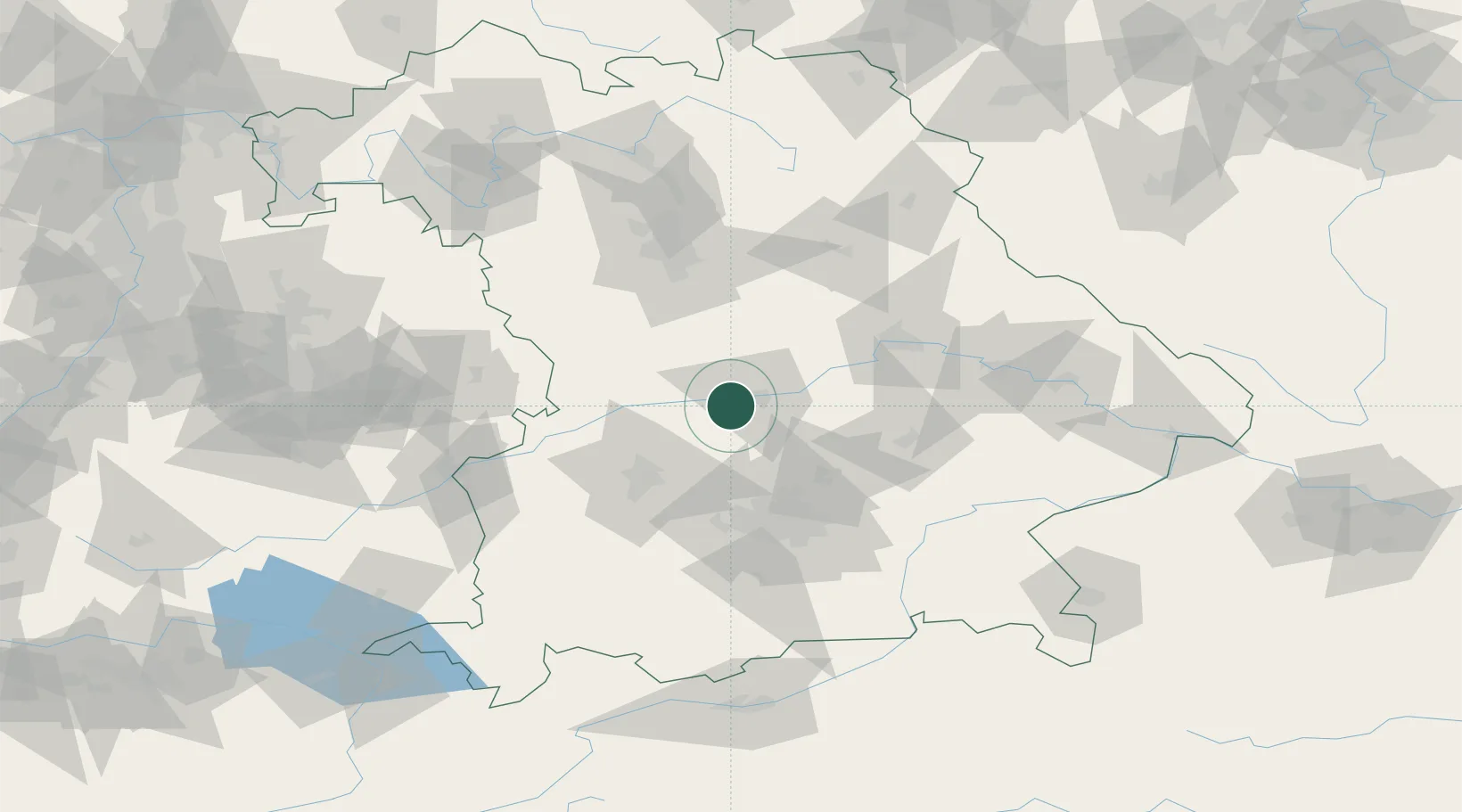
Hub Profile
Place type
Local administrative seat
Region
Bavaria
Population
2,244
Time zone
Europe/Berlin
Elevation
375 m
Location
Nearby Logistics Neighbours
Cities
- 1Karlshuld4 km
- 2Buxheim, Unterallgäu9 km
- 3Ingolstadt10 km
- 4Eitensheim11 km
- 5Baar-Ebenhausen12 km
Ports
- 1Nogaro357 km
- 2Monfalcone367 km
- 3Grado368 km
- 4Porto Di Lido-Venezia377 km
- 5Trieste387 km
Airports
- 1Neuburg Air Base8 km
- 2Ingolstadt Manching Airport16 km
- 3Augsburg Airport43 km
- 4Altstetten Ultralight Field46 km
- 5Munich Airport53 km
Trade Zones
DatabookThe Record of Consolidated Knowledge
Germany beyond logistics?