UN/LOCODE hub · Germany
DERBS
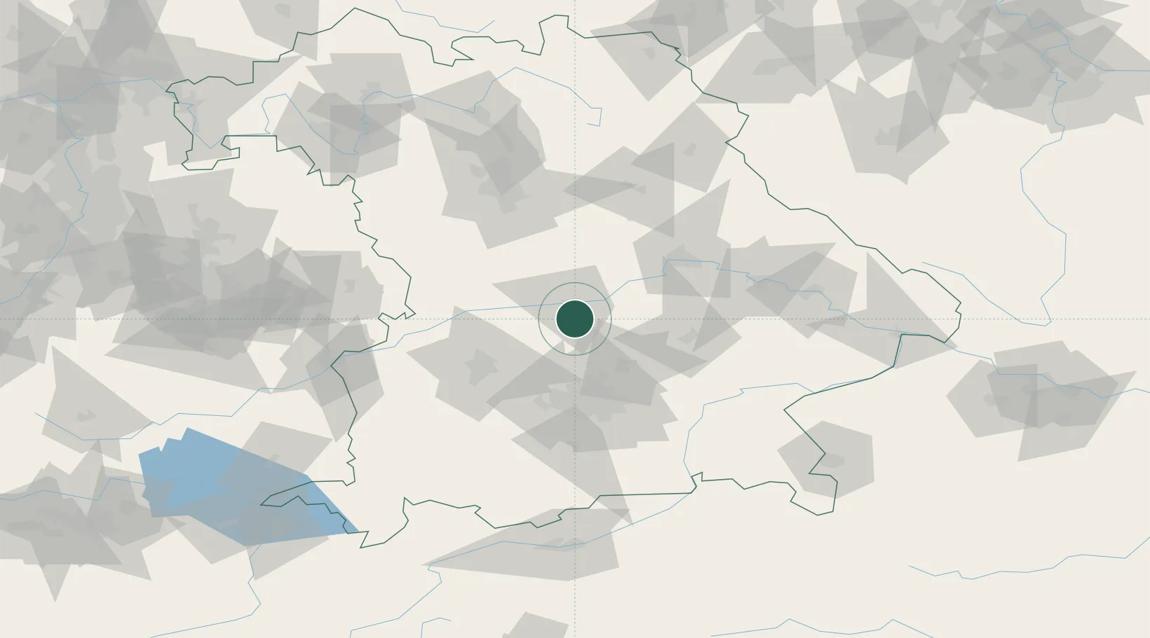
Baar-Ebenhausen
48.6667°, 11.4667°
4,862
Population
3
Transport functions
Transport Functions
Rail
Road
Multimodal
Hub Profile
Place type
Local administrative seat
Region
Bavaria
Population
4,862
Time zone
Europe/Berlin
Elevation
377 m
Location
Nearby Logistics Neighbours
Cities
- 1Manching6 km
- 2Fahlenbach8 km
- 3Ernsgaden9 km
- 4Eulenried10 km
- 5Geisenfeld11 km
Ports
- 1Nogaro348 km
- 2Monfalcone357 km
- 3Grado358 km
- 4Porto Di Lido-Venezia369 km
- 5Trieste377 km
Airports
- 1Ingolstadt Manching Airport7 km
- 2Neuburg Air Base19 km
- 3Munich Airport42 km
- 4Altstetten Ultralight Field42 km
- 5Landshut Airfield45 km
Trade Zones
DatabookThe Record of Consolidated Knowledge
Germany beyond logistics?