Transport Functions
Multimodal
Hub Profile
Place type
Local administrative seat
Region
Bavaria
Population
5,012
Time zone
Europe/Berlin
Elevation
377 m
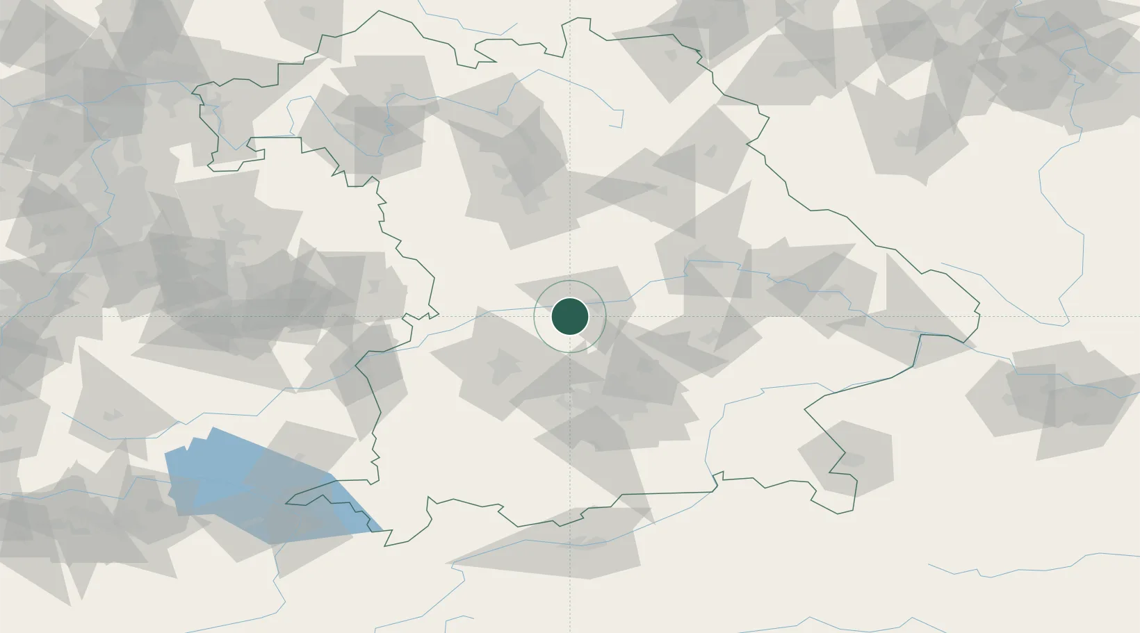
Location
Nearby Logistics Neighbours
Cities
- 1Weichering4 km
- 2Baar-Ebenhausen12 km
- 3Buxheim, Unterallgäu13 km
- 4Ingolstadt14 km
- 5Oberhausen14 km
Ports
- 1Nogaro354 km
- 2Monfalcone364 km
- 3Grado365 km
- 4Porto Di Lido-Venezia373 km
- 5Trieste385 km
Airports
- 1Neuburg Air Base7 km
- 2Ingolstadt Manching Airport18 km
- 3Augsburg Airport40 km
- 4Altstetten Ultralight Field42 km
- 5Munich Airport51 km
Trade Zones
- 1Freeport of Deggendorf119 km
- 2Podbořany Industrial Zone229 km
- 3Žatec - Triangle Strategic Industrial Zone249 km
- 4Livigno Free Trade Zone256 km
- 5ZFU Neuhof261 km
DatabookThe Record of Consolidated Knowledge
Germany beyond logistics?