Transport Functions
Rail
Road
Hub Profile
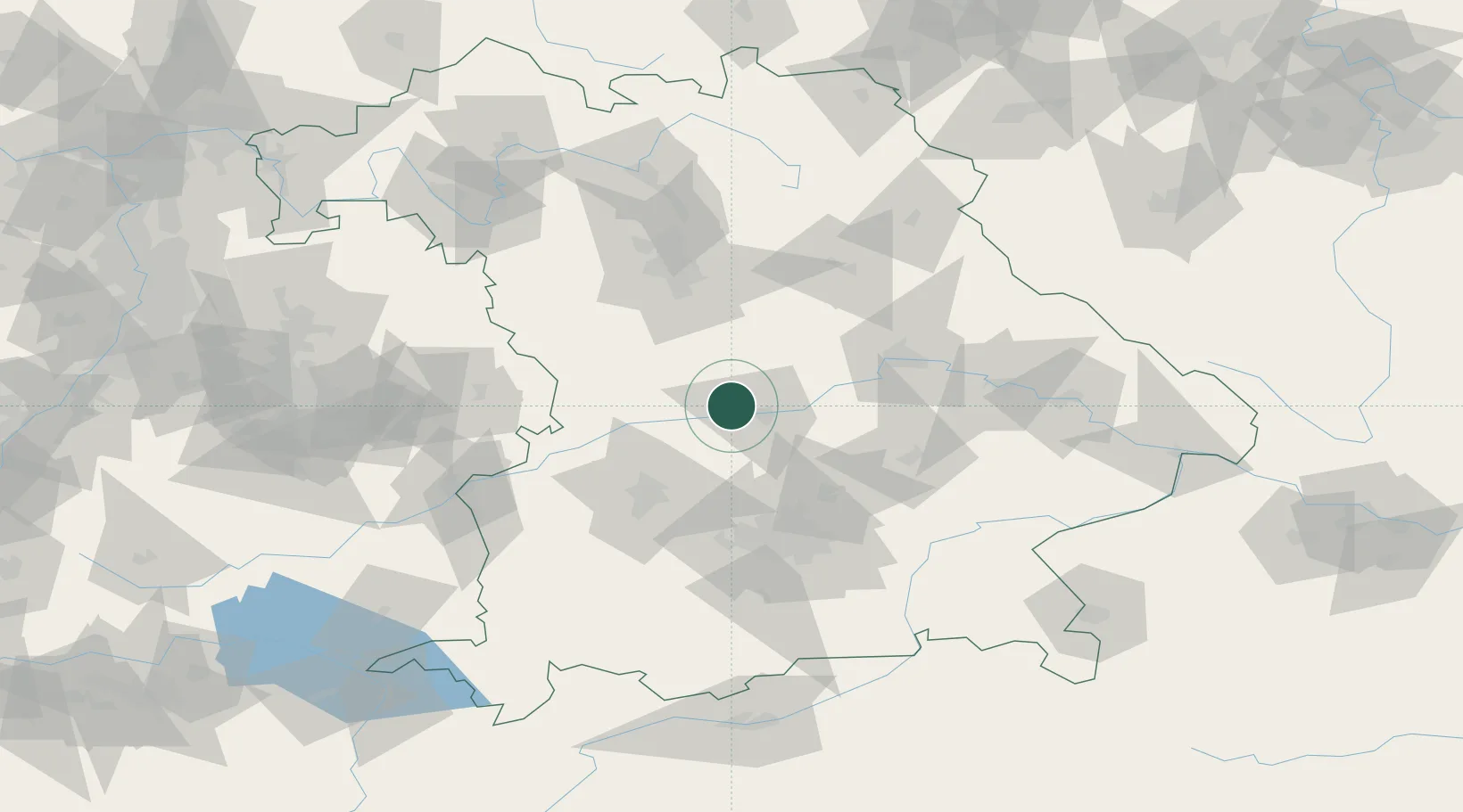
Region
BY
Location
Nearby Logistics Neighbours
Cities
- 1Eitensheim2 km
- 2Weichering9 km
- 3Ingolstadt10 km
- 4Eichstätt13 km
- 5Karlshuld13 km
Ports
- 1Nogaro366 km
- 2Monfalcone376 km
- 3Grado377 km
- 4Porto Di Lido-Venezia386 km
- 5Trieste396 km
Airports
- 1Neuburg Air Base12 km
- 2Ingolstadt Manching Airport20 km
- 3Augsburg Airport50 km
- 4Altstetten Ultralight Field55 km
- 5Hohenfels Army Airfield61 km
Trade Zones
- 1Freeport of Deggendorf118 km
- 2Podbořany Industrial Zone220 km
- 3Žatec - Triangle Strategic Industrial Zone239 km
- 4Most - Joseph Industrial Zone252 km
- 5ZFU Neuhof261 km
DatabookThe Record of Consolidated Knowledge
Germany beyond logistics?