Transport Functions
Port
Rail
Road
Hub Profile
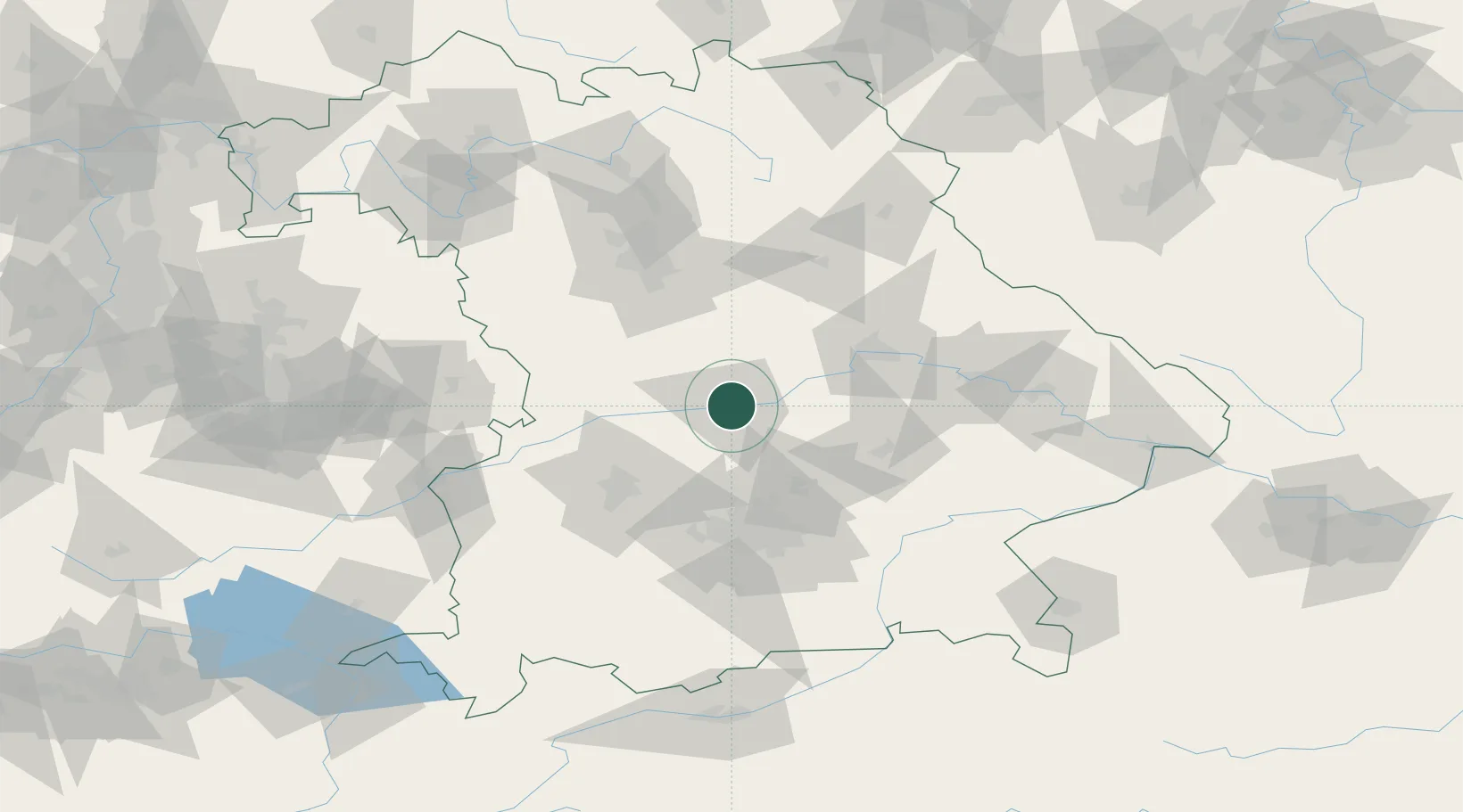
Place type
District seat
Region
Bavaria
Population
120,658
Time zone
Europe/Berlin
Elevation
379 m
Location
Nearby Logistics Neighbours
Cities
- 1Manching7 km
- 2Eitensheim10 km
- 3Weichering10 km
- 4Buxheim, Unterallgäu10 km
- 5Ernsgaden11 km
Ports
- 1Nogaro359 km
- 2Monfalcone368 km
- 3Grado369 km
- 4Porto Di Lido-Venezia380 km
- 5Trieste388 km
Airports
- 1Ingolstadt Manching Airport9 km
- 2Neuburg Air Base17 km
- 3Altstetten Ultralight Field52 km
- 4Landshut Airfield53 km
- 5Munich Airport53 km
Trade Zones
DatabookThe Record of Consolidated Knowledge
Germany beyond logistics?