Transport Functions
Multimodal
Hub Profile
Place type
Local administrative seat
Region
Bavaria
Time zone
Europe/Berlin
Elevation
406 m
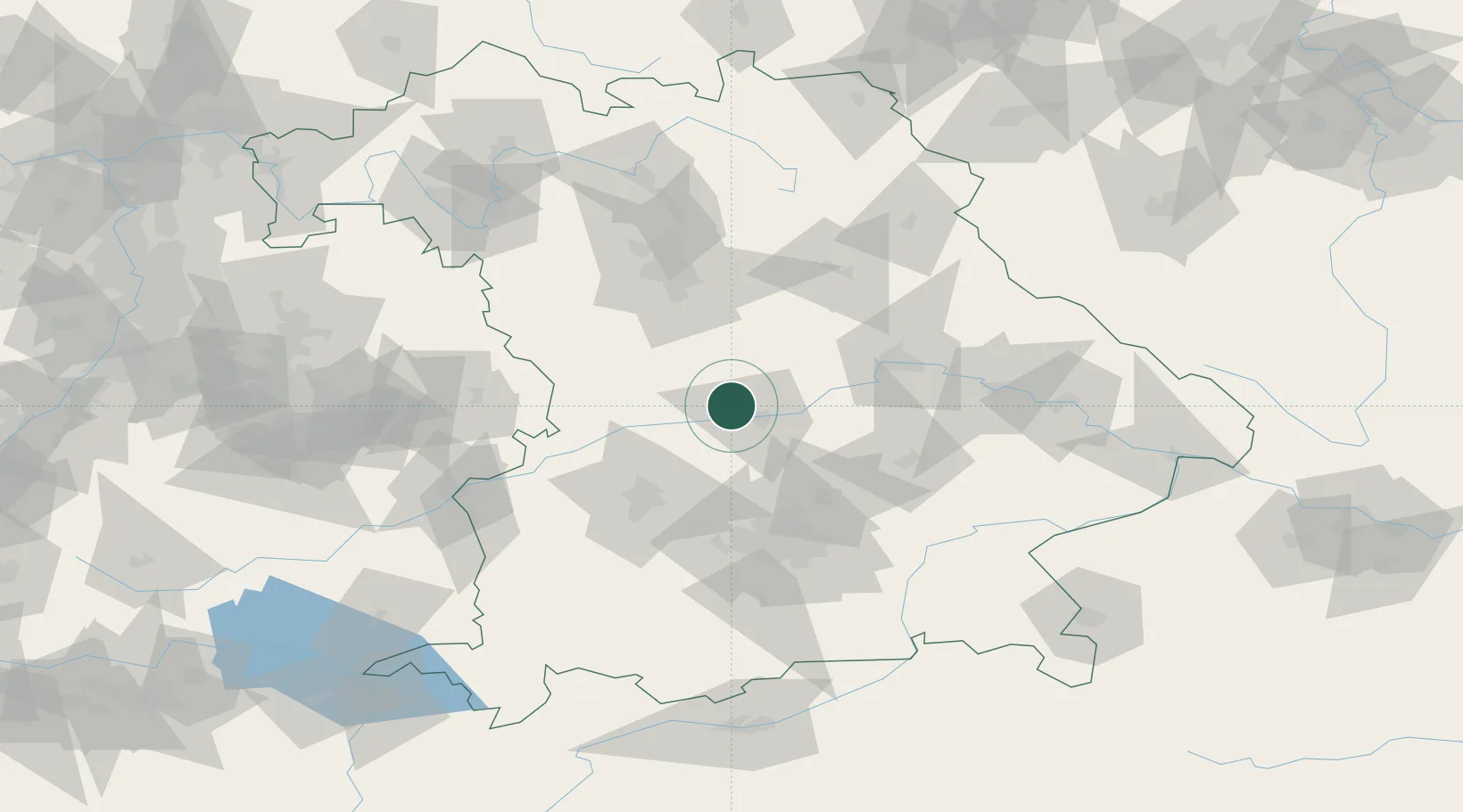
Location
Nearby Logistics Neighbours
Cities
- 1Buxheim, Unterallgäu2 km
- 2Ingolstadt10 km
- 3Weichering11 km
- 4Eichstätt12 km
- 5Karlshuld15 km
Ports
- 1Nogaro368 km
- 2Monfalcone377 km
- 3Grado378 km
- 4Porto Di Lido-Venezia387 km
- 5Trieste397 km
Airports
- 1Neuburg Air Base14 km
- 2Ingolstadt Manching Airport20 km
- 3Augsburg Airport52 km
- 4Altstetten Ultralight Field57 km
- 5Hohenfels Army Airfield58 km
Trade Zones
- 1Freeport of Deggendorf116 km
- 2Podbořany Industrial Zone218 km
- 3Žatec - Triangle Strategic Industrial Zone237 km
- 4Most - Joseph Industrial Zone250 km
- 5ZFU Neuhof263 km
DatabookThe Record of Consolidated Knowledge
Germany beyond logistics?