Transport Functions
Rail
Road
Multimodal
Hub Profile
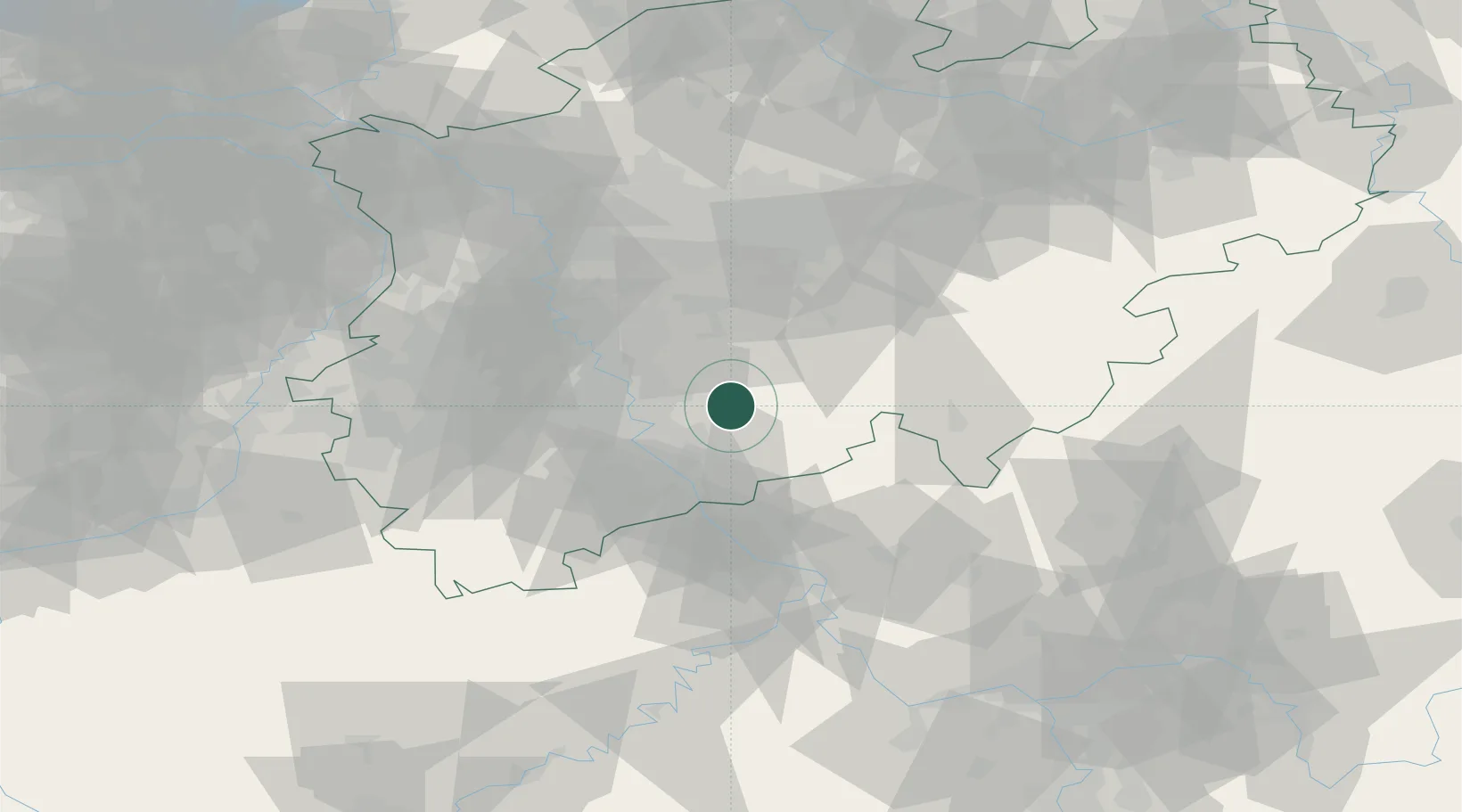
Place type
Populated place
Region
North Rhine-Westphalia
Population
27,203
Time zone
Europe/Berlin
Elevation
96 m
Location
Nearby Logistics Neighbours
Cities
- 1Bergisch Gladbach12 km
- 2Grimberg15 km
- 3Friedrich-Wilhelmshutte20 km
- 4Sankt Augustin22 km
- 5Wiehagen22 km
Airports
- 1Cologne Bonn Airport15 km
- 2Nörvenich Air Base47 km
- 3Düsseldorf Airport53 km
- 4Siegerland Airport61 km
- 5Mönchengladbach Airport64 km
Trade Zones
- 1Rheinische Revier SWZ65 km
- 2Freeport of Duisburg74 km
- 3Luxembourg Free Port165 km
- 4ZFU La Cité Behren-lès-Forbach200 km
- 5ZFU Woippy-Metz216 km
DatabookThe Record of Consolidated Knowledge
Germany beyond logistics?