UN/LOCODE hub · Germany
DEBGL
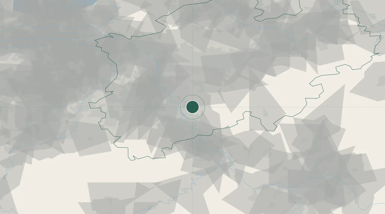
Bergisch Gladbach
50.9833°, 7.1333°
106,184
Population
3
Transport functions
Transport Functions
Port
Rail
Road
Hub Profile
Place type
District seat
Region
North Rhine-Westphalia
Population
106,184
Time zone
Europe/Berlin
Elevation
98 m
Location
Nearby Logistics Neighbours
Cities
- 1Grimberg8 km
- 2Leverkusen11 km
- 3Niehl/Köln12 km
- 4Overath12 km
- 5Köln14 km
Airports
- 1Cologne Bonn Airport13 km
- 2Nörvenich Air Base37 km
- 3Düsseldorf Airport43 km
- 4Mönchengladbach Airport52 km
- 5Dortmund Airport68 km
Trade Zones
- 1Rheinische Revier SWZ53 km
- 2Freeport of Duisburg64 km
- 3Luxembourg Free Port163 km
- 4ZFU La Cité Behren-lès-Forbach203 km
- 5ZFU Woippy-Metz216 km
DatabookThe Record of Consolidated Knowledge
Germany beyond logistics?