UN/LOCODE hub · Netherlands
NLNSZ

Nieuwe Statenzijl

53.2333°, 7.2000°
2
Transport functions

Transport Functions

Port
Road
UN/LOCODE

Hub Profile

Place type
Populated place
GeoNames
Region
Groningen
GeoNames
Time zone
Europe/Amsterdam
GeoNames
Elevation
-1 m
GeoNames

Location

Location of NLNSZ
Natural Earth 10m (public domain) · Groningen · NLNSZ · 53.23, 7.20GoogleOSMYandex

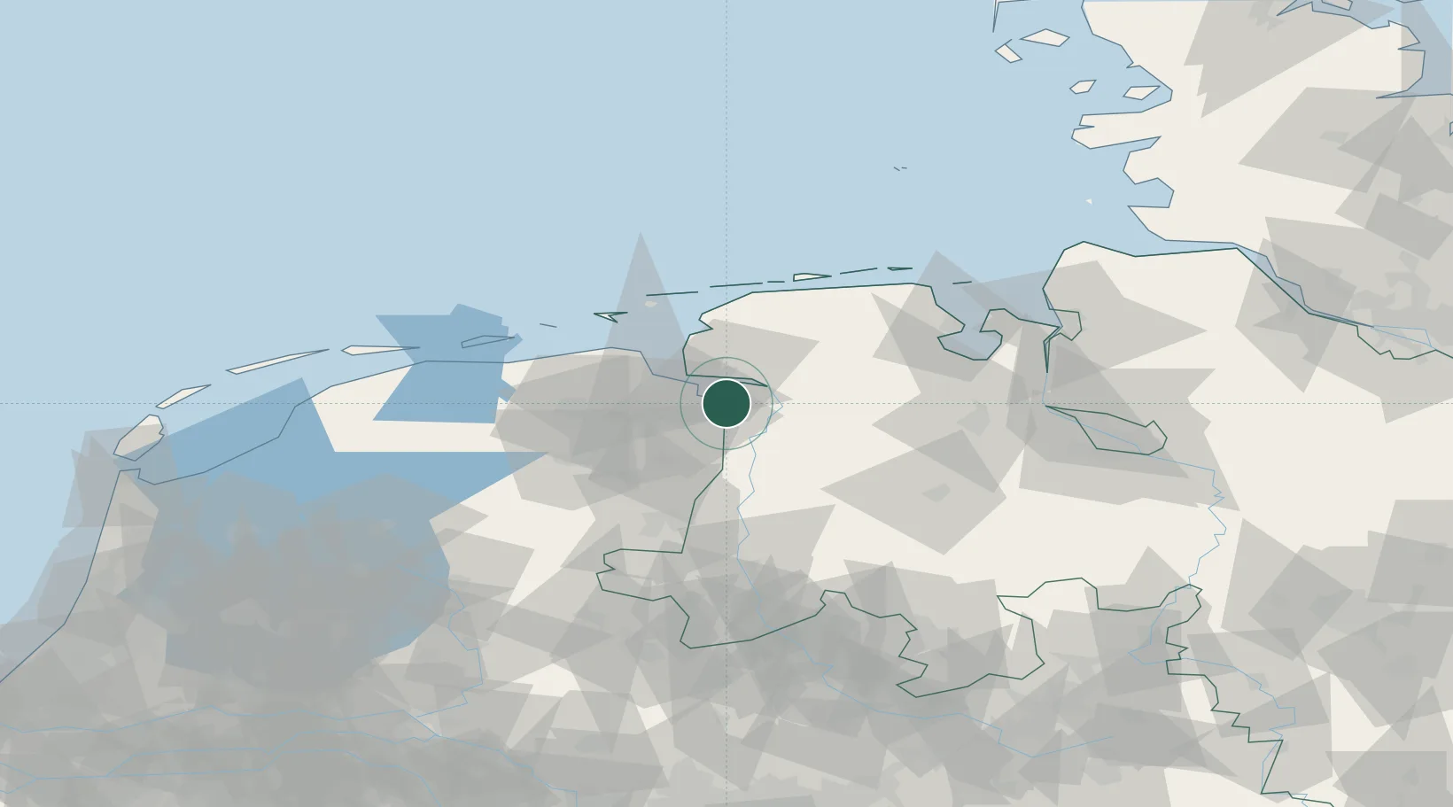
Nearby Logistics Neighbours

Cities
  1. 1Nieuweschans6 km
  2. 2Ditzum11 km
  3. 3Weener12 km
  4. 4Jemgum13 km
  5. 5Termunterzijl13 km
Nearest neighbours — logibook spatial index (haversine) over the source coordinates
Ports
  1. 1Emden11 km
  2. 2Leer17 km
  3. 3Papenburg19 km
  4. 4Delfzijl21 km
  5. 5Eemshaven34 km
Nearest neighbours — logibook spatial index (haversine) over the source coordinates
Airports
  1. 1Emden Airport18 km
  2. 2Groningen Airport Eelde43 km
  3. 3Norden-Norddeich Airport45 km
  4. 4Wittmundhafen Air Base47 km
  5. 5Juist Airport51 km
Nearest neighbours — logibook spatial index (haversine) over the source coordinates
Trade Zones
  1. 1Freeport of Emden11 km
  2. 2Freeport of Bremerhaven (Freihafen Bremerhaven)106 km
  3. 3Freeport of Cuxhaven (Freihafen Cuxhaven)112 km
  4. 4Freeport of Duisburg203 km
  5. 5Freeport of Kiel231 km
Nearest neighbours — logibook spatial index (haversine) over the source coordinates
DatabookThe Record of Consolidated Knowledge
Netherlands beyond logistics?
Browse databook

All Sources

LocationsUN/LOCODE
UN/LOCODE — free
Portsthe NGA World Port Index
Public domain (US gov)
AirportsOurAirports
Public domain
Trade Zonesthe World Bank SEZ database
CC BY 4.0
Trade ZonesOpen Zone Map
CC BY
← Netherlands locations