Transport Functions
Port
Road
Hub Profile
Place type
Local administrative seat
Region
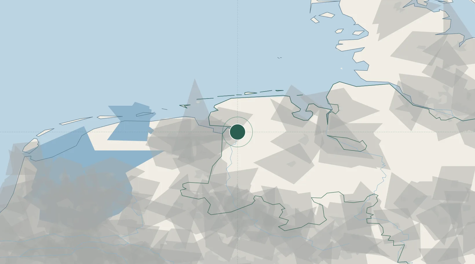
Lower Saxony
Population
3,735
Time zone
Europe/Berlin
Elevation
1 m
Location
Nearby Logistics Neighbours
Cities
- 1Oldersum8 km
- 2Ditzum9 km
- 3Weener11 km
- 4Brinkum12 km
- 5Nieuwe Statenzijl13 km
Airports
- 1Emden Airport17 km
- 2Wittmundhafen Air Base37 km
- 3Norden-Norddeich Airport43 km
- 4Norderney Airport50 km
- 5Juist Airport51 km
Trade Zones
DatabookThe Record of Consolidated Knowledge
Germany beyond logistics?