Transport Functions
Rail
Road
Hub Profile
Place type
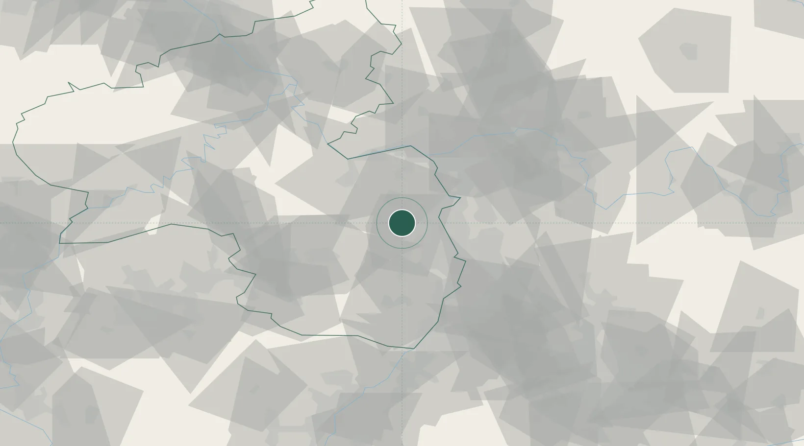
Populated place
Region
Rheinland-Pfalz
Population
644
Time zone
Europe/Berlin
Elevation
160 m
Location
Nearby Logistics Neighbours
Cities
- 1Zellertal2 km
- 2Flörsheim-Dalsheim3 km
- 3Gundersheim6 km
- 4Bermersheim vor der Höhe7 km
- 5Kettenheim10 km
Airports
- 1Mannheim-City Airport31 km
- 2Mainz-Finthen Airfield37 km
- 3Ramstein Air Base46 km
- 4Wiesbaden Army Airfield48 km
- 5Frankfurt-Egelsbach Airport50 km
Trade Zones
- 1ZFU La Cité Behren-lès-Forbach104 km
- 2ZFU Hautepierre121 km
- 3ZFU Neuhof125 km
- 4Luxembourg Free Port140 km
- 5ZFU Woippy-Metz156 km
DatabookThe Record of Consolidated Knowledge
Germany beyond logistics?