Transport Functions
Multimodal
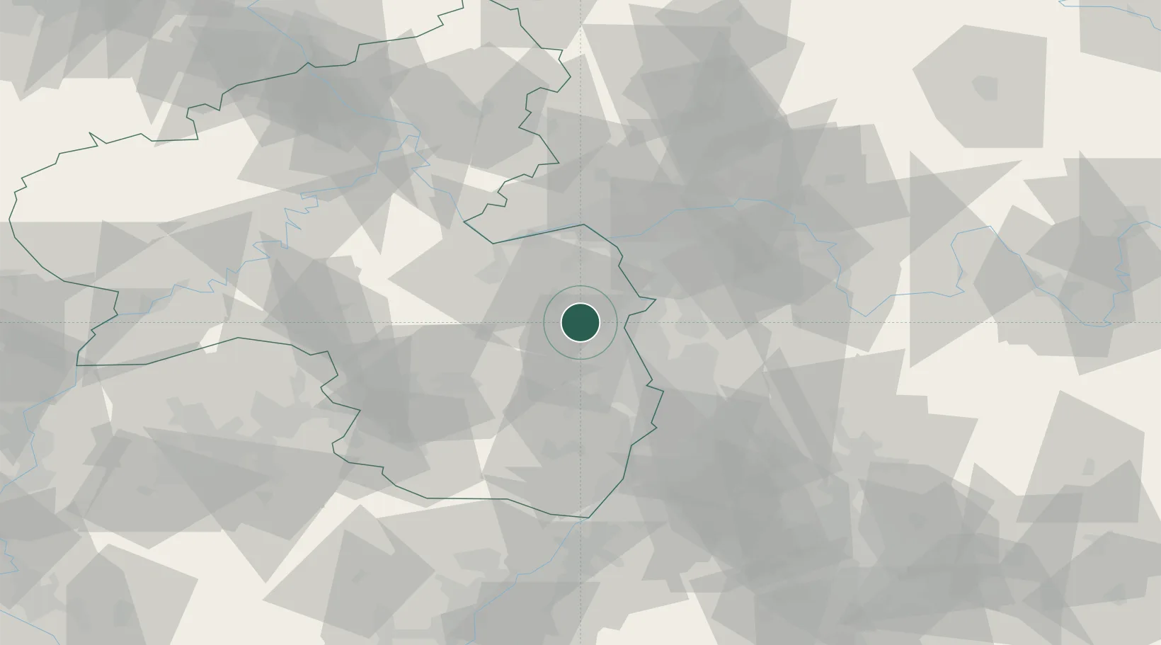
Hub Profile
Place type
Local administrative seat
Region
Rheinland-Pfalz
Population
1,668
Time zone
Europe/Berlin
Elevation
148 m
Location
Nearby Logistics Neighbours
Cities
- 1Bermersheim vor der Höhe1 km
- 2Flörsheim-Dalsheim4 km
- 3Wachenheim6 km
- 4Bechtheim7 km
- 5Zellertal7 km
Airports
- 1Mainz-Finthen Airfield32 km
- 2Mannheim-City Airport33 km
- 3Wiesbaden Army Airfield42 km
- 4Frankfurt-Egelsbach Airport44 km
- 5Frankfurt Main Airport46 km
Trade Zones
- 1ZFU La Cité Behren-lès-Forbach109 km
- 2ZFU Hautepierre127 km
- 3ZFU Neuhof131 km
- 4Luxembourg Free Port142 km
- 5ZFU Woippy-Metz160 km
DatabookThe Record of Consolidated Knowledge
Germany beyond logistics?