Transport Functions
Rail
Road
Hub Profile
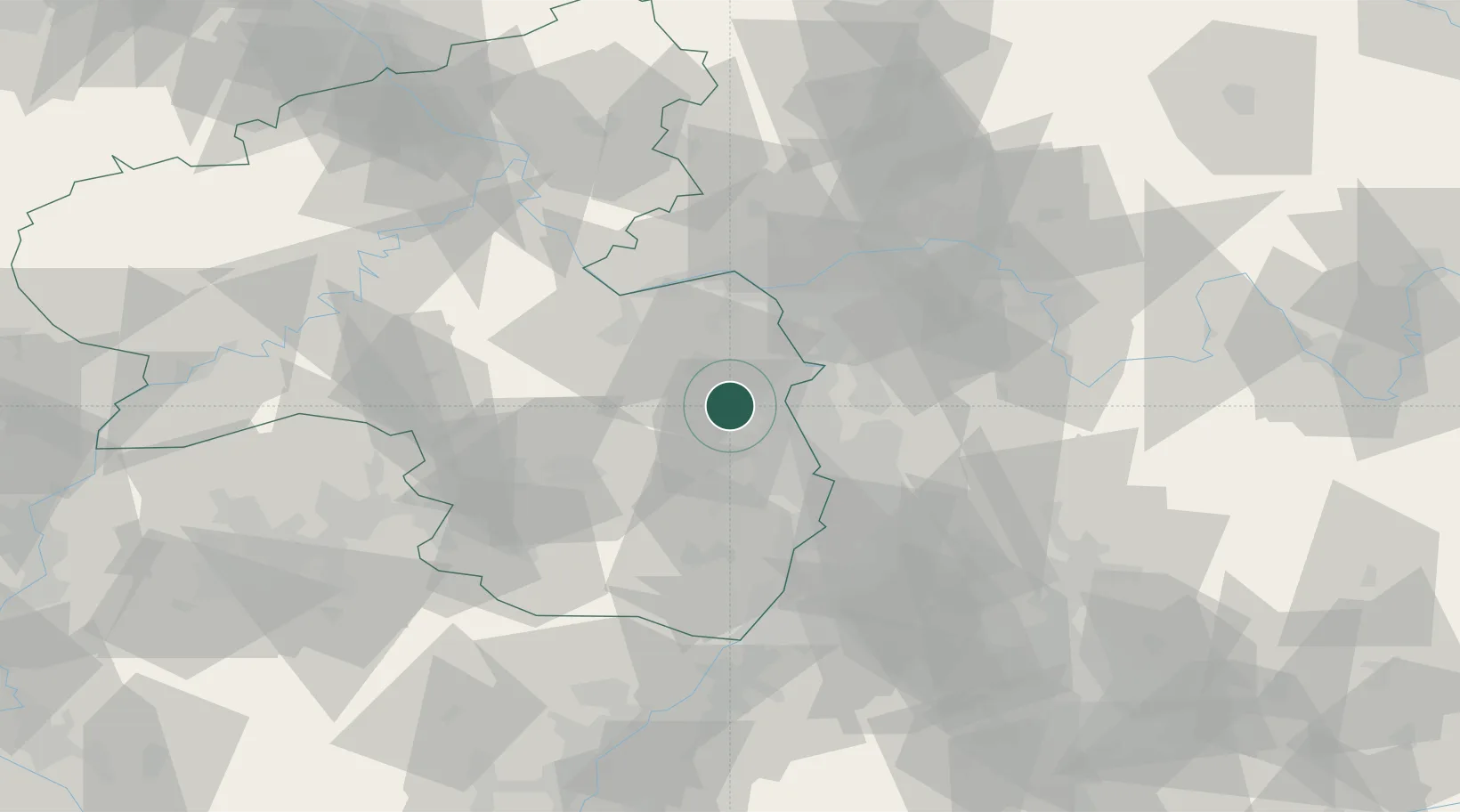
Region
RP
Location
Nearby Logistics Neighbours
Cities
- 1Wachenheim3 km
- 2Gundersheim4 km
- 3Bermersheim vor der Höhe4 km
- 4Zellertal5 km
- 5Bechtheim10 km
Airports
- 1Mannheim-City Airport30 km
- 2Mainz-Finthen Airfield36 km
- 3Wiesbaden Army Airfield45 km
- 4Frankfurt-Egelsbach Airport47 km
- 5Frankfurt Main Airport49 km
Trade Zones
- 1ZFU La Cité Behren-lès-Forbach107 km
- 2ZFU Hautepierre123 km
- 3ZFU Neuhof127 km
- 4Luxembourg Free Port142 km
- 5ZFU Woippy-Metz159 km
DatabookThe Record of Consolidated Knowledge
Germany beyond logistics?