Transport Functions
Port
Multimodal
Hub Profile
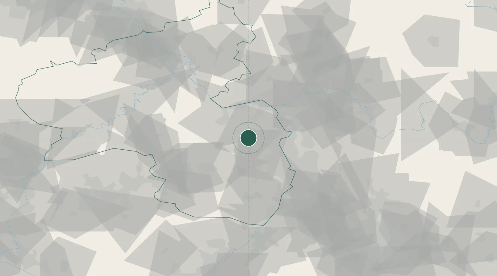
Place type
Local administrative seat
Region
Rheinland-Pfalz
Population
273
Time zone
Europe/Berlin
Elevation
203 m
Location
Nearby Logistics Neighbours
Cities
- 1Bermersheim6 km
- 2Albig6 km
- 3Heimersheim6 km
- 4Framersheim6 km
- 5Morschheim7 km
Airports
- 1Mainz-Finthen Airfield28 km
- 2Mannheim-City Airport40 km
- 3Wiesbaden Army Airfield40 km
- 4Frankfurt-Egelsbach Airport47 km
- 5Ramstein Air Base48 km
Trade Zones
- 1ZFU La Cité Behren-lès-Forbach105 km
- 2ZFU Hautepierre128 km
- 3ZFU Neuhof133 km
- 4Luxembourg Free Port135 km
- 5ZFU Woippy-Metz155 km
DatabookThe Record of Consolidated Knowledge
Germany beyond logistics?