Transport Functions
Multimodal
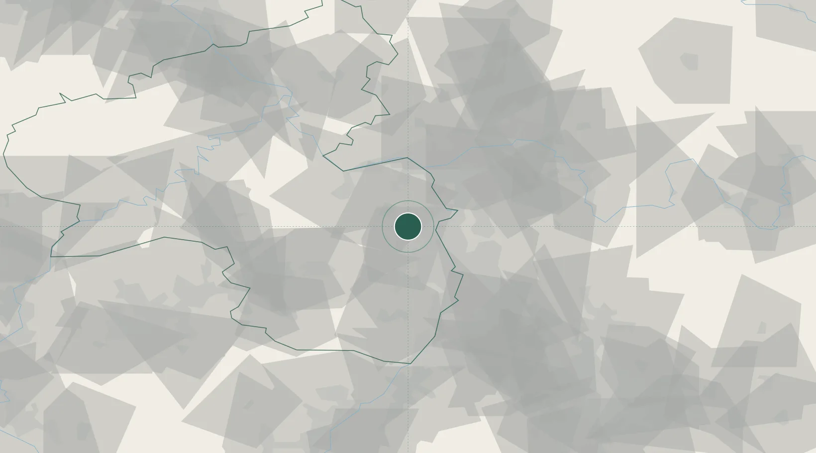
Hub Profile
Region
RP
Location
Nearby Logistics Neighbours
Cities
- 1Gundersheim1 km
- 2Flörsheim-Dalsheim4 km
- 3Bechtheim6 km
- 4Wachenheim7 km
- 5Dittelsheim-Hessloch8 km
Airports
- 1Mannheim-City Airport32 km
- 2Mainz-Finthen Airfield32 km
- 3Wiesbaden Army Airfield42 km
- 4Frankfurt-Egelsbach Airport43 km
- 5Frankfurt Main Airport45 km
Trade Zones
- 1ZFU La Cité Behren-lès-Forbach110 km
- 2ZFU Hautepierre127 km
- 3ZFU Neuhof131 km
- 4Luxembourg Free Port144 km
- 5ZFU Woippy-Metz161 km
DatabookThe Record of Consolidated Knowledge
Germany beyond logistics?