Transport Functions
Multimodal
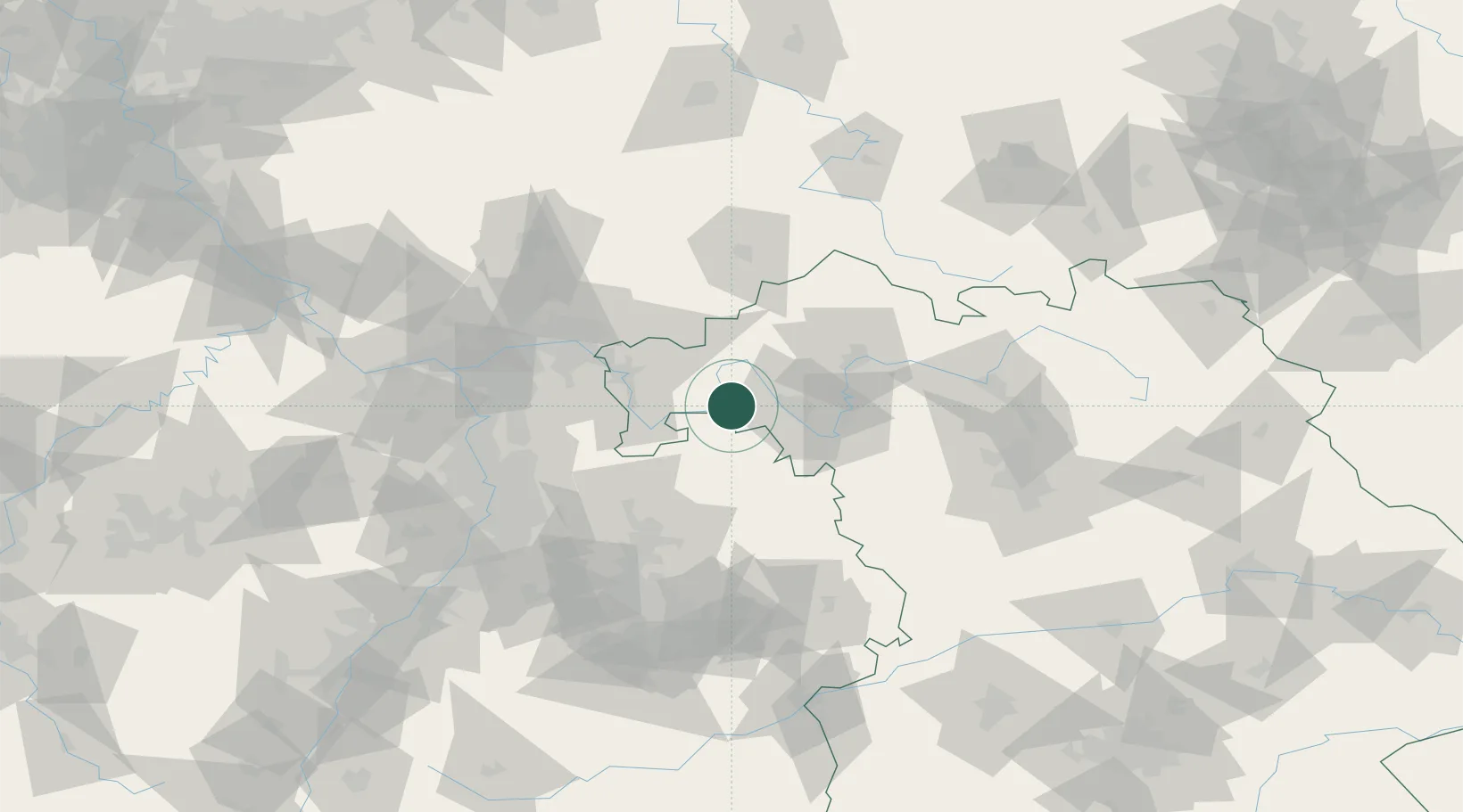
Hub Profile
Place type
Populated place
Region
Bavaria
Time zone
Europe/Berlin
Elevation
205 m
Location
Nearby Logistics Neighbours
Cities
- 1Roden8 km
- 2Hasloch11 km
- 3Waldbüttelbrunn15 km
- 4Faulbach15 km
- 5Steinfeld15 km
Airports
- 1Niederstetten Army Air Base53 km
- 2Frankfurt-Egelsbach Airport73 km
- 3Adolf Würth Airport78 km
- 4Frankfurt Main Airport80 km
- 5Mannheim-City Airport89 km
Trade Zones
- 1ZFU Hautepierre196 km
- 2ZFU Neuhof197 km
- 3ZFU La Cité Behren-lès-Forbach208 km
- 4Luxembourg Free Port246 km
- 5Rheinische Revier SWZ261 km
DatabookThe Record of Consolidated Knowledge
Germany beyond logistics?