Transport Functions
Rail
Road
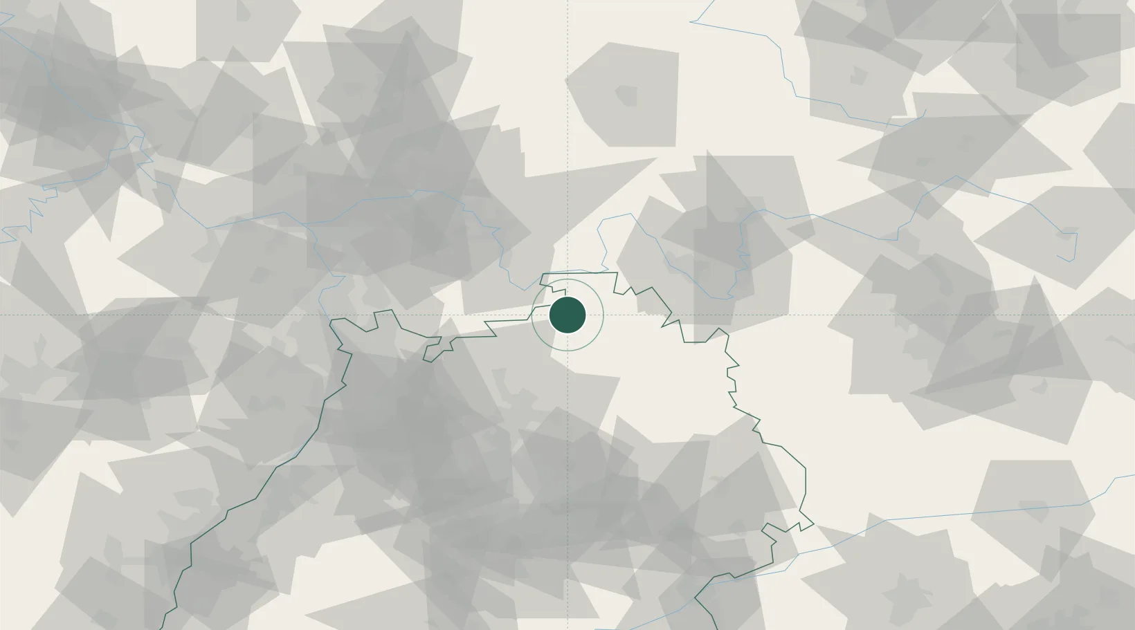
Hub Profile
Place type
Local administrative seat
Region
Baden-Wurttemberg
Population
3,331
Time zone
Europe/Berlin
Elevation
383 m
Location
Nearby Logistics Neighbours
Cities
- 1Buchen13 km
- 2Werbach16 km
- 3Weilbach17 km
- 4Rosenberg (Baden)17 km
- 5Segnitz17 km
Airports
- 1Niederstetten Army Air Base44 km
- 2Adolf Würth Airport59 km
- 3Mannheim-City Airport68 km
- 4Frankfurt-Egelsbach Airport69 km
- 5Frankfurt Main Airport79 km
Trade Zones
- 1ZFU Hautepierre169 km
- 2ZFU Neuhof169 km
- 3ZFU La Cité Behren-lès-Forbach188 km
- 4Luxembourg Free Port231 km
- 5ZFU Woippy-Metz243 km
DatabookThe Record of Consolidated Knowledge
Germany beyond logistics?