Transport Functions
Port
Rail
Road
Hub Profile
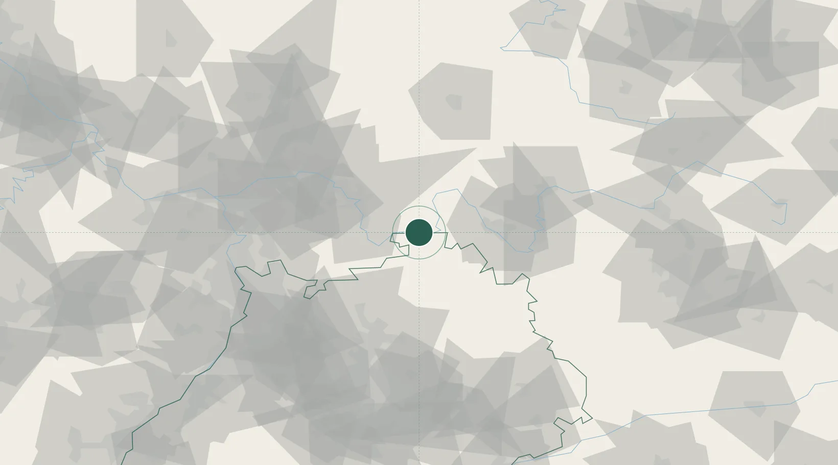
Place type
Local administrative seat
Region
Bavaria
Population
1,414
Time zone
Europe/Berlin
Elevation
137 m
Location
Nearby Logistics Neighbours
Cities
- 1Faulbach4 km
- 2Stadtprozelten5 km
- 3Erlenbach bei Marktheidenfeld11 km
- 4Segnitz13 km
- 5Roden15 km
Airports
- 1Niederstetten Army Air Base55 km
- 2Frankfurt-Egelsbach Airport63 km
- 3Frankfurt Main Airport72 km
- 4Adolf Würth Airport77 km
- 5Mannheim-City Airport78 km
Trade Zones
- 1ZFU Hautepierre186 km
- 2ZFU Neuhof186 km
- 3ZFU La Cité Behren-lès-Forbach197 km
- 4Luxembourg Free Port235 km
- 5ZFU Woippy-Metz251 km
DatabookThe Record of Consolidated Knowledge
Germany beyond logistics?