Transport Functions
Rail
Road
Hub Profile
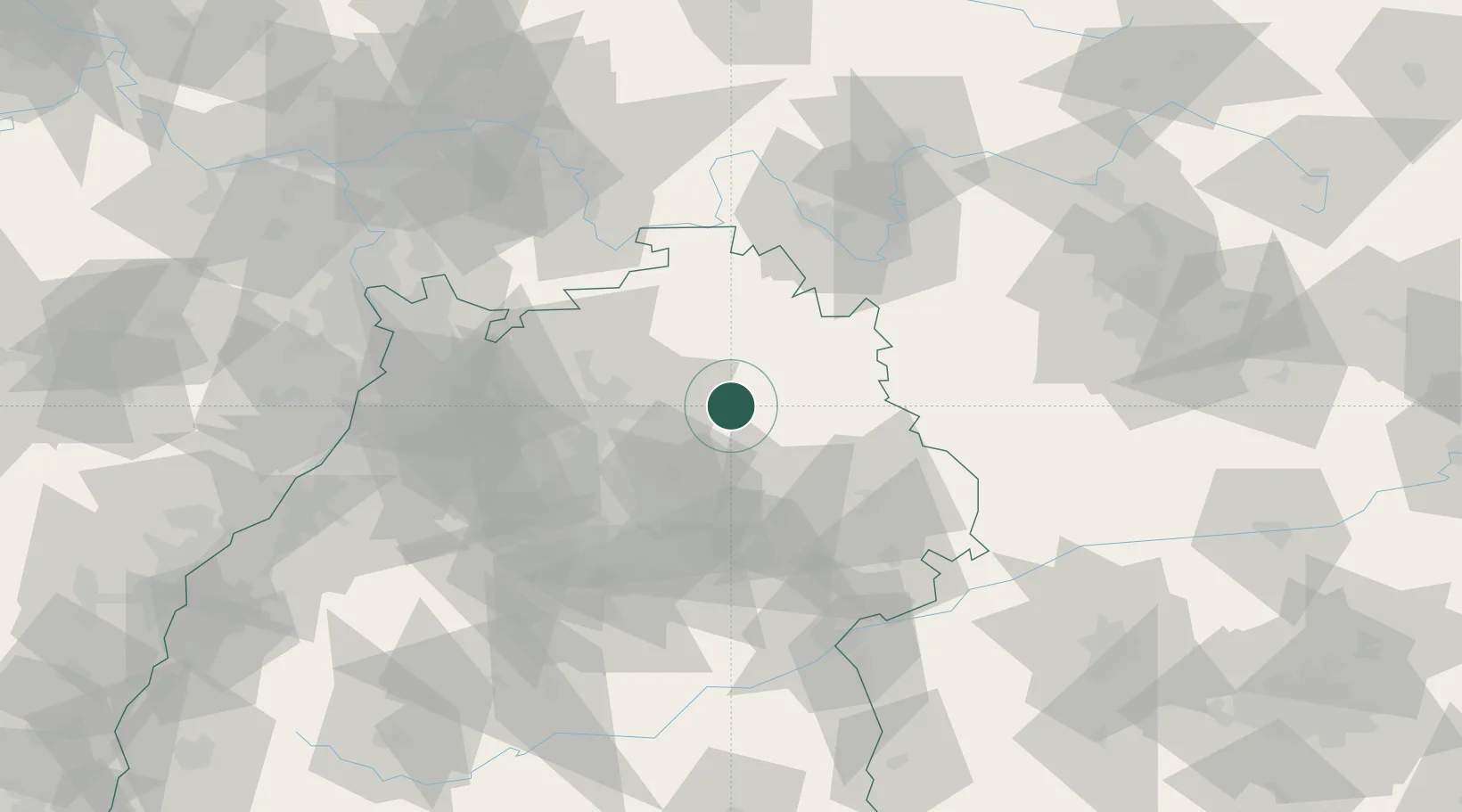
Place type
Populated place
Region
Baden-Wurttemberg
Population
3,127
Time zone
Europe/Berlin
Elevation
503 m
Location
Nearby Logistics Neighbours
Cities
- 1Kupferzell5 km
- 2Niedernhall11 km
- 3Bühlerzimmern12 km
- 4Künzelsau12 km
- 5Schwäbisch Hall12 km
Airports
- 1Adolf Würth Airport13 km
- 2Niederstetten Army Air Base33 km
- 3Stuttgart Airport63 km
- 4Mannheim-City Airport87 km
- 5Laupheim Air Base109 km
Trade Zones
- 1ZFU Neuhof154 km
- 2ZFU Hautepierre156 km
- 3ZFU La Cité Behren-lès-Forbach197 km
- 4ZFU Mulhouse233 km
- 5Luxembourg Free Port252 km
DatabookThe Record of Consolidated Knowledge
Germany beyond logistics?