Transport Functions
Multimodal
Hub Profile
Place type
Populated place
Region
Baden-Wurttemberg
Time zone
Europe/Berlin
Elevation
408 m
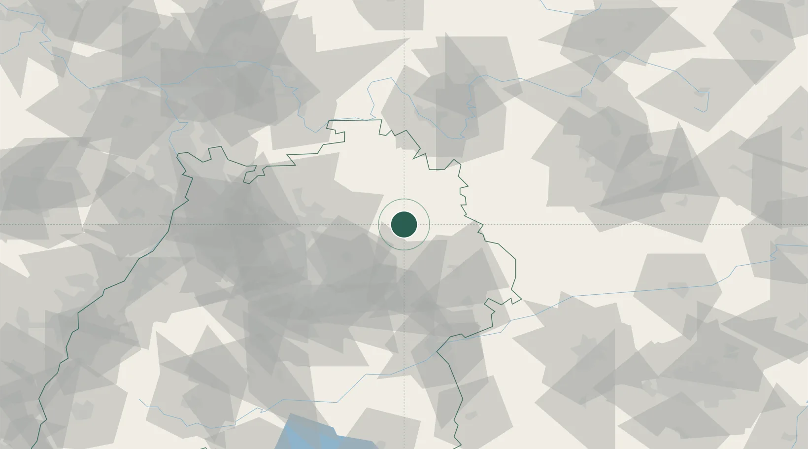
Location
Nearby Logistics Neighbours
Cities
- 1Schwäbisch Hall7 km
- 2Ilshofen10 km
- 3Kupferzell10 km
- 4Eckartshausen11 km
- 5Waldenburg12 km
Airports
- 1Adolf Würth Airport4 km
- 2Niederstetten Army Air Base30 km
- 3Stuttgart Airport66 km
- 4Mannheim-City Airport99 km
- 5Nuremberg Airport102 km
Trade Zones
- 1ZFU Neuhof163 km
- 2ZFU Hautepierre165 km
- 3ZFU La Cité Behren-lès-Forbach208 km
- 4ZFU Mulhouse238 km
- 5Luxembourg Free Port263 km
DatabookThe Record of Consolidated Knowledge
Germany beyond logistics?