Transport Functions
Rail
Road
Hub Profile
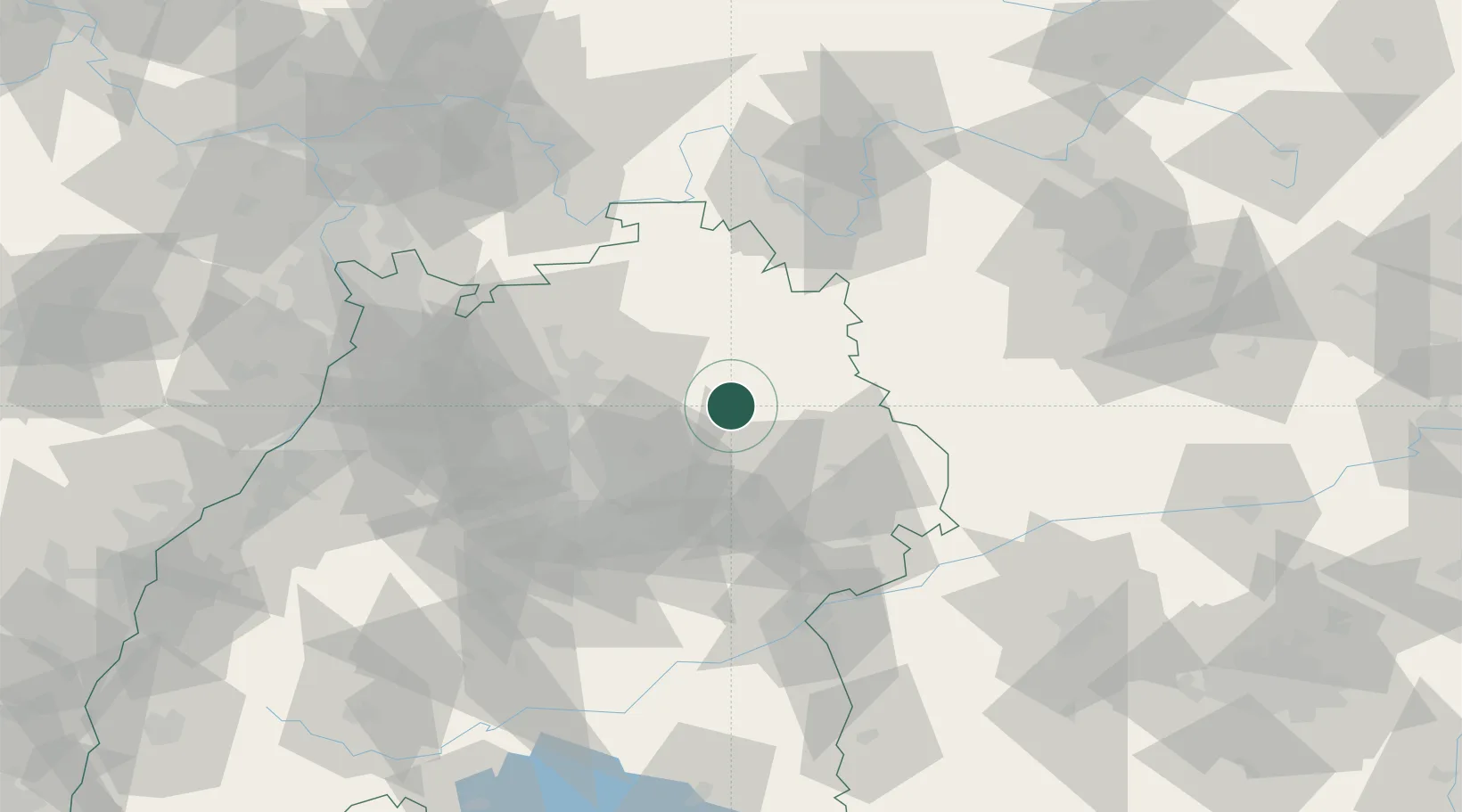
Region
BW
Location
Nearby Logistics Neighbours
Cities
- 1Bühlerzimmern7 km
- 2Waldenburg12 km
- 3Fichtenberg13 km
- 4Kupferzell14 km
- 5Ilshofen15 km
Ports
- 1Bruxelles432 km
- 2Antwerpen447 km
- 3Nogaro452 km
- 4Bremen454 km
- 5Porto Di Lido-Venezia457 km
Airports
- 1Adolf Würth Airport4 km
- 2Niederstetten Army Air Base36 km
- 3Stuttgart Airport59 km
- 4Mannheim-City Airport98 km
- 5Laupheim Air Base99 km
Trade Zones
- 1ZFU Neuhof157 km
- 2ZFU Hautepierre160 km
- 3ZFU La Cité Behren-lès-Forbach204 km
- 4ZFU Mulhouse232 km
- 5ZFU Metz260 km
DatabookThe Record of Consolidated Knowledge
Germany beyond logistics?