Transport Functions
Multimodal
Hub Profile
Place type
Local administrative seat
Region
Schleswig-Holstein
Population
992
Time zone
Europe/Berlin
Elevation
40 m
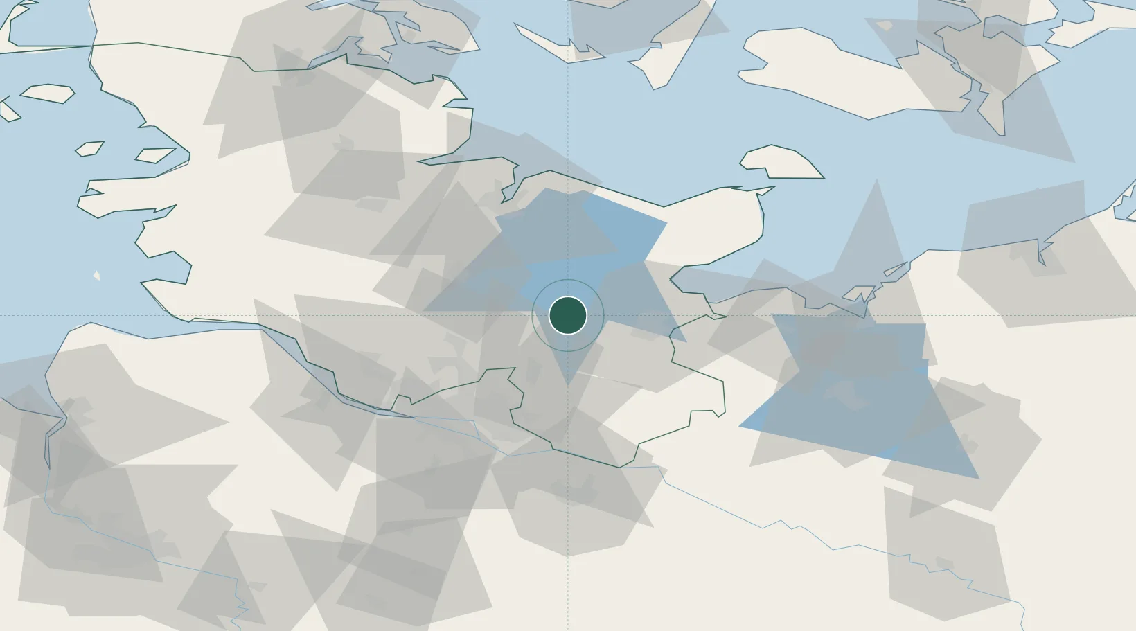
Location
Nearby Logistics Neighbours
Cities
- 1Wittenborn11 km
- 2Altengörs12 km
- 3Daldorf14 km
- 4Hamberge16 km
- 5Ahrensboek17 km
Ports
- 1Lubeck21 km
- 2Lubeck-Travemunde33 km
- 3Neustadt35 km
- 4Kiel47 km
- 5Hamburg50 km
Airports
Trade Zones
DatabookThe Record of Consolidated Knowledge
Germany beyond logistics?