UN/LOCODE hub · Germany
DESH4

Altengörs

53.9000°, 10.2000°
2
Transport functions

Transport Functions

Port
Multimodal
UN/LOCODE

Hub Profile

Region
SH
GeoNames

Location

Location of DESH4
Natural Earth 10m (public domain) · SH · DESH4 · 53.90, 10.20GoogleOSMYandex

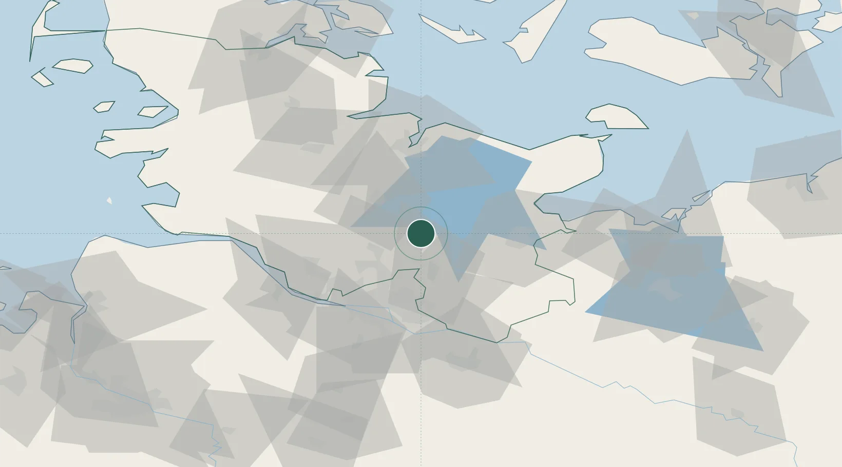
Nearby Logistics Neighbours

Cities
  1. 1Wittenborn4 km
  2. 2Weede12 km
  3. 3Daldorf13 km
  4. 4Trappenkamp17 km
  5. 5Henstedt-Ulzburg19 km
Nearest neighbours — logibook spatial index (haversine) over the source coordinates
Ports
  1. 1Lubeck33 km
  2. 2Hamburg43 km
  3. 3Itzehoe45 km
  4. 4Lubeck-Travemunde45 km
  5. 5Neustadt46 km
Nearest neighbours — logibook spatial index (haversine) over the source coordinates
Airports
  1. 1Hamburg Helmut Schmidt Airport33 km
  2. 2Lübeck Blankensee Airport36 km
  3. 3Uetersen-Heist Airfield43 km
  4. 4Hamburg-Finkenwerder Airport47 km
  5. 5Kiel-Holtenau Airport53 km
Nearest neighbours — logibook spatial index (haversine) over the source coordinates
Trade Zones
  1. 1Freeport of Kiel48 km
  2. 2Freeport of Cuxhaven (Freihafen Cuxhaven)107 km
  3. 3Freeport of Bremerhaven (Freihafen Bremerhaven)130 km
  4. 4Freeport of Emden208 km
  5. 5Freeport of Copenhagen- Nordhavn254 km
Nearest neighbours — logibook spatial index (haversine) over the source coordinates
DatabookThe Record of Consolidated Knowledge
Germany beyond logistics?
Browse databook

All Sources

LocationsUN/LOCODE
UN/LOCODE — free
Portsthe NGA World Port Index
Public domain (US gov)
AirportsOurAirports
Public domain
Trade Zonesthe World Bank SEZ database
CC BY 4.0
Trade ZonesOpen Zone Map
CC BY
← Germany locations