Transport Functions
Road
Multimodal
Hub Profile
Place type
Local administrative seat
Region
Schleswig-Holstein
Population
805
Time zone
Europe/Berlin
Elevation
44 m
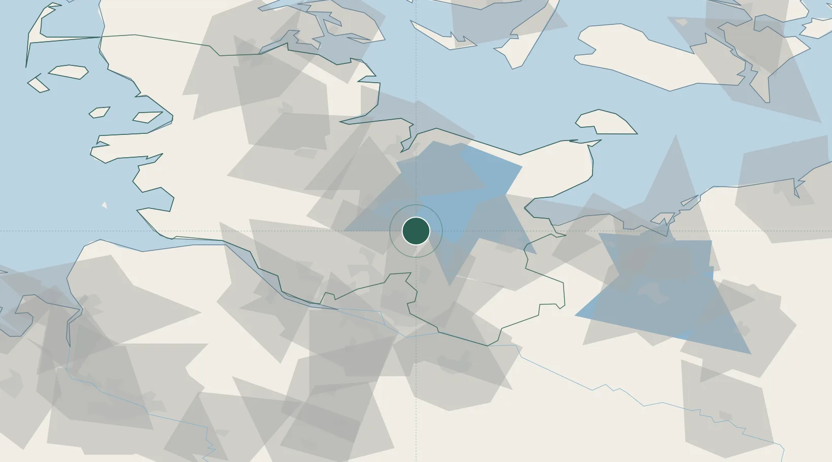
Location
Nearby Logistics Neighbours
Cities
- 1Altengörs4 km
- 2Daldorf10 km
- 3Weede11 km
- 4Trappenkamp13 km
- 5Wankendorf20 km
Ports
- 1Lubeck32 km
- 2Kiel43 km
- 3Neustadt43 km
- 4Lubeck-Travemunde44 km
- 5Itzehoe46 km
Airports
Trade Zones
DatabookThe Record of Consolidated Knowledge
Germany beyond logistics?