Transport Functions
Multimodal
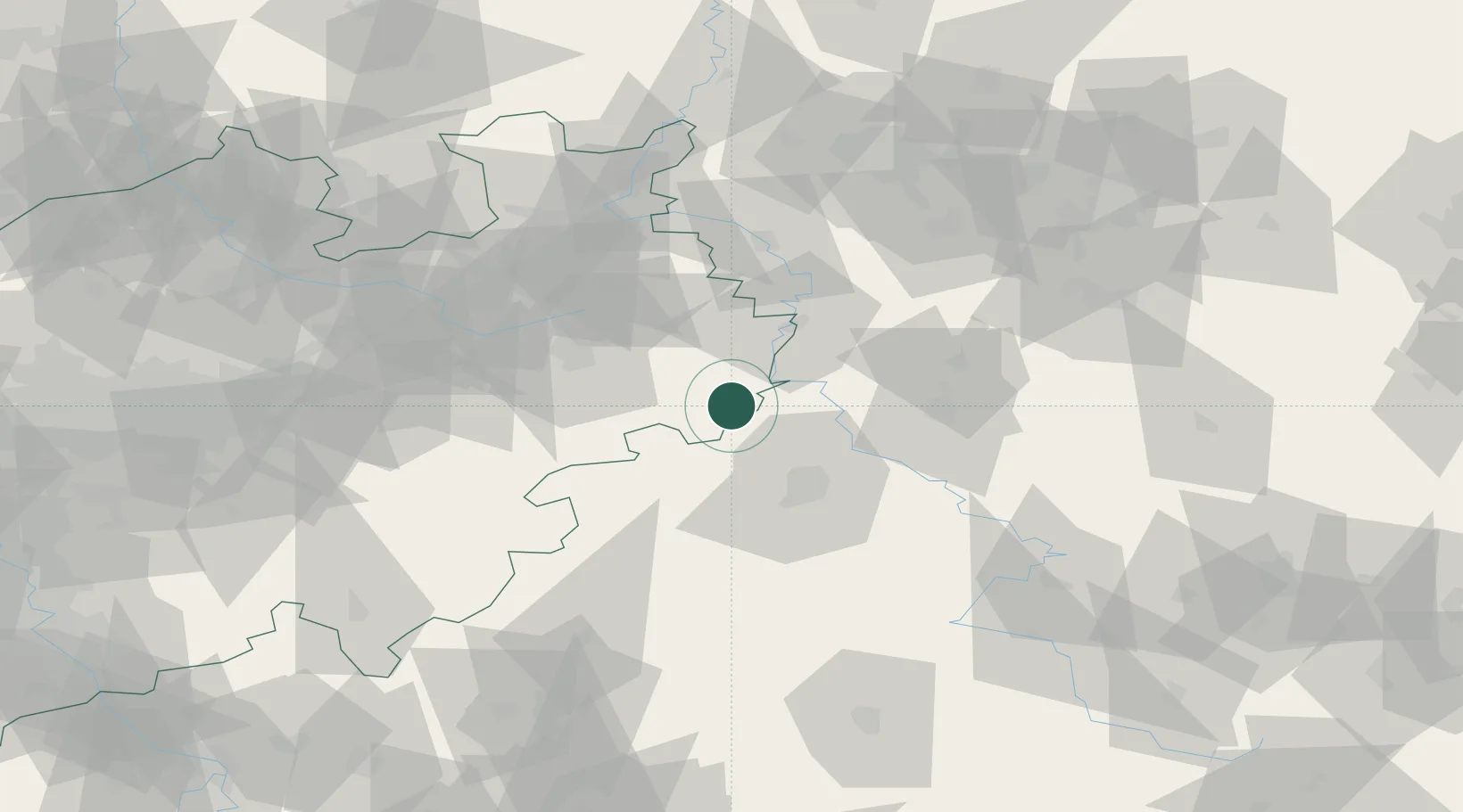
Hub Profile
Place type
Populated place
Region
North Rhine-Westphalia
Population
9,713
Time zone
Europe/Berlin
Elevation
205 m
Location
Nearby Logistics Neighbours
Cities
- 1Warburg9 km
- 2Bad Karlshafen16 km
- 3Volkmarsen21 km
- 4Fürstenberg21 km
- 5Boffzen22 km
Airports
- 1Kassel Airport19 km
- 2Paderborn Lippstadt Airport44 km
- 3Fritzlar Army Airfield50 km
- 4Bielefeld Airport66 km
- 5Bückeburg Air Base80 km
Trade Zones
DatabookThe Record of Consolidated Knowledge
Germany beyond logistics?