Transport Functions
Rail
Road
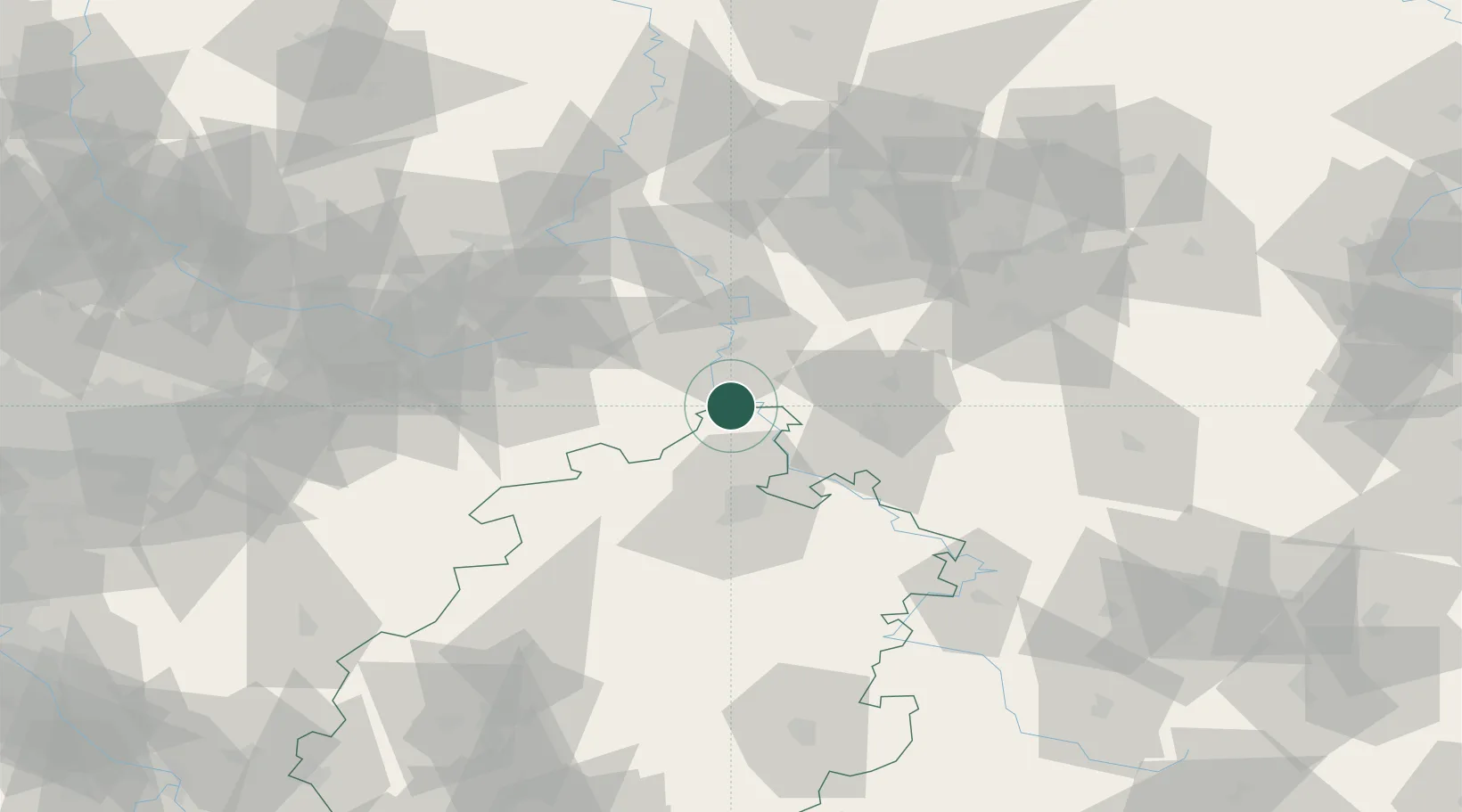
Hub Profile
Place type
Populated place
Region
Hesse
Population
4,097
Time zone
Europe/Berlin
Elevation
119 m
Location
Nearby Logistics Neighbours
Cities
- 1Fürstenberg12 km
- 2Boffzen14 km
- 3Borgentreich16 km
- 4Reinhardshagen20 km
- 5Holzminden20 km
Airports
- 1Kassel Airport24 km
- 2Paderborn Lippstadt Airport58 km
- 3Fritzlar Army Airfield59 km
- 4Bielefeld Airport72 km
- 5Bückeburg Air Base76 km
Trade Zones
DatabookThe Record of Consolidated Knowledge
Germany beyond logistics?