Transport Functions
Port
Rail
Road
Hub Profile
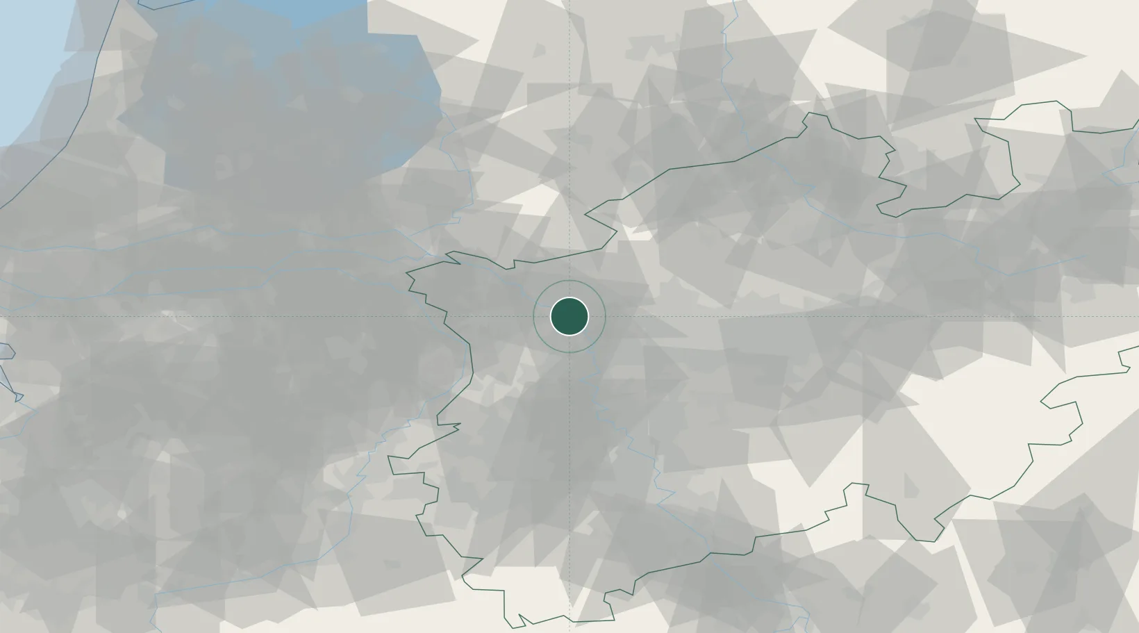
Place type
Populated place
Region
North Rhine-Westphalia
Population
36,047
Time zone
Europe/Berlin
Elevation
27 m
Logistics facilities
1
Location
Nearby Logistics Neighbours
Cities
- 1Wesel0 km
- 2Emmelsum0 km
- 3Friedrichsfeld3 km
- 4Perrich5 km
- 5Werrich6 km
Airports
- 1Weeze (Niederrhein) Airport33 km
- 2Düsseldorf Airport39 km
- 3Mönchengladbach Airport45 km
- 4Volkel Air Base62 km
- 5Deelen Air Base70 km
Trade Zones
- 1Freeport of Duisburg20 km
- 2Rheinische Revier SWZ81 km
- 3Freeport of Emden194 km
- 4Freeport of Bremerhaven (Freihafen Bremerhaven)220 km
- 5Luxembourg Free Port223 km
DatabookThe Record of Consolidated Knowledge
Germany beyond logistics?