Transport Functions
Port
Road
Hub Profile
Place type
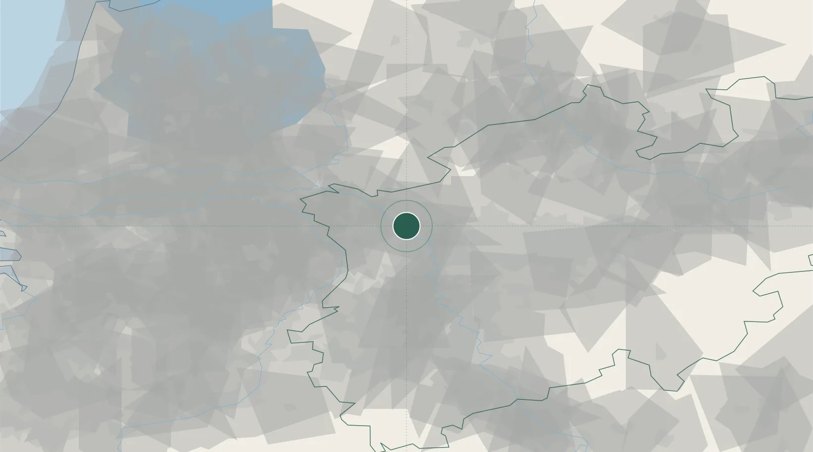
Populated place
Region
North Rhine-Westphalia
Time zone
Europe/Berlin
Elevation
19 m
Location
Nearby Logistics Neighbours
Cities
- 1Werrich1 km
- 2Voerde5 km
- 3Wesel5 km
- 4Emmelsum5 km
- 5Friedrichsfeld7 km
Airports
- 1Weeze (Niederrhein) Airport29 km
- 2Düsseldorf Airport43 km
- 3Mönchengladbach Airport47 km
- 4Volkel Air Base58 km
- 5Deelen Air Base65 km
Trade Zones
- 1Freeport of Duisburg23 km
- 2Rheinische Revier SWZ83 km
- 3Freeport of Emden192 km
- 4Freeport of Bremerhaven (Freihafen Bremerhaven)220 km
- 5Luxembourg Free Port225 km
DatabookThe Record of Consolidated Knowledge
Germany beyond logistics?