Transport Functions
Rail
Road
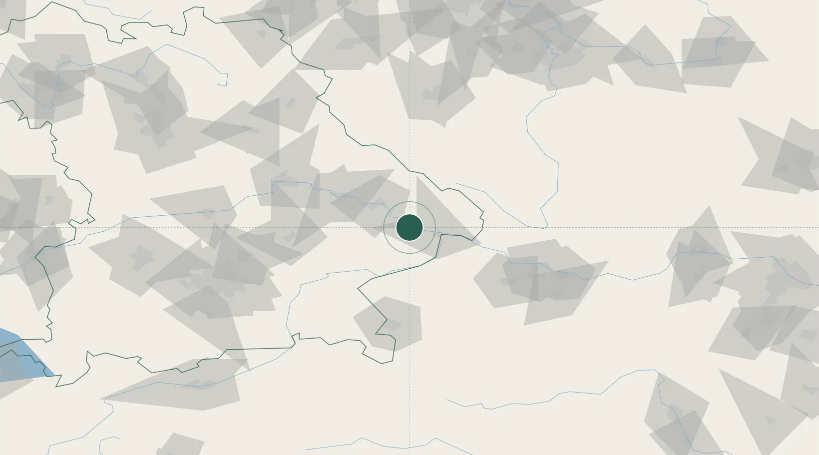
Hub Profile
Place type
Populated place
Region
Bavaria
Population
16,695
Time zone
Europe/Berlin
Elevation
319 m
Location
Nearby Logistics Neighbours
Cities
- 1Schalding13 km
- 2Winzer14 km
- 3Osterhofen14 km
- 4Passau16 km
- 5Ruderting17 km
Ports
- 1Monfalcone318 km
- 2Nogaro320 km
- 3Grado327 km
- 4Trieste334 km
- 5Muggia340 km
Airports
- 1Landshut Airfield86 km
- 2Linz-Hörsching Airport86 km
- 3Salzburg Airport94 km
- 4České Budějovice South Bohemian Airport98 km
- 5Munich Airport108 km
Trade Zones
DatabookThe Record of Consolidated Knowledge
Germany beyond logistics?