Transport Functions
Multimodal
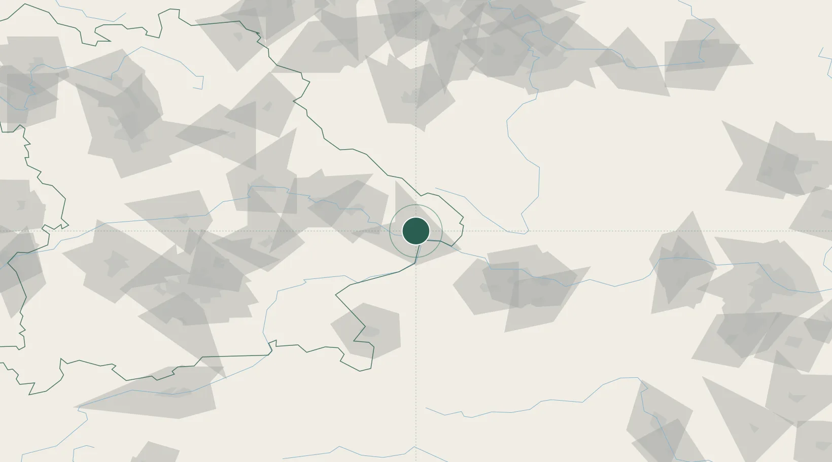
Hub Profile
Place type
Local administrative seat
Region
Bavaria
Population
3,074
Time zone
Europe/Berlin
Elevation
448 m
Location
Nearby Logistics Neighbours
Ports
- 1Monfalcone319 km
- 2Nogaro322 km
- 3Grado329 km
- 4Trieste334 km
- 5Muggia340 km
Airports
- 1Linz-Hörsching Airport73 km
- 2České Budějovice South Bohemian Airport81 km
- 3Salzburg Airport100 km
- 4Landshut Airfield103 km
- 5Plzeň-Líně Airport115 km
Trade Zones
DatabookThe Record of Consolidated Knowledge
Germany beyond logistics?